TOPOGRAFIA 2 CELERIMENSURA - ISIS Via Ivon de Begnac
TOPOGRAFIA 2 CELERIMENSURA - ISIS Via Ivon de Begnac
TOPOGRAFIA 2 CELERIMENSURA - ISIS Via Ivon de Begnac

You also want an ePaper? Increase the reach of your titles
YUMPU automatically turns print PDFs into web optimized ePapers that Google loves.
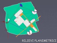
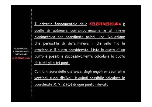
Il criterio fondamentale <strong>de</strong>lla <strong>CELERIMENSURA</strong> è<br />
quello di abbinare contemporaneamente al rilievo<br />
planimetrico per coordinate polari, una livellazione<br />
che permetta di <strong>de</strong>terminare il dislivello tra la<br />
RILIEVO PLANO<br />
ALTIMETRICO DEI<br />
PARTICOLARI<br />
LA <strong>CELERIMENSURA</strong><br />
stazione e il punto consi<strong>de</strong>rato. Nota la quota di un<br />
punto è possibile successivamente calcolare le quote<br />
di tutti gli altri punti<br />
Con la misura <strong>de</strong>lle distanze, <strong>de</strong>gli angoli orizzontali e<br />
verticali e <strong>de</strong>i dislivelli è quindi possibile calcolare le<br />
coordinate X, Y, Z (Q) di ogni punto rilevato