Proposition de nouvelle organisation des données SIG et création d ...
Proposition de nouvelle organisation des données SIG et création d ...
Proposition de nouvelle organisation des données SIG et création d ...
You also want an ePaper? Increase the reach of your titles
YUMPU automatically turns print PDFs into web optimized ePapers that Google loves.
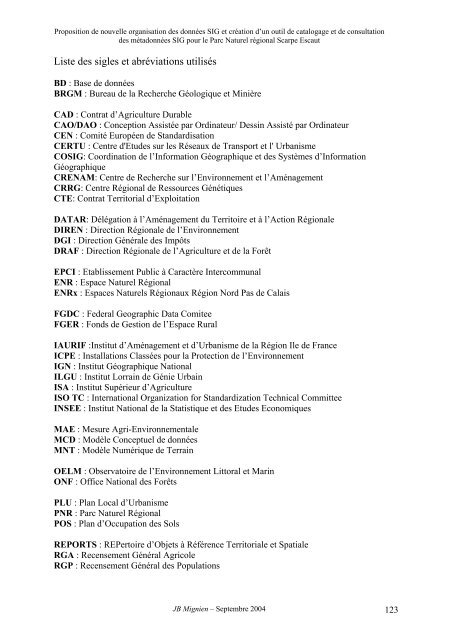
<strong>Proposition</strong> <strong>de</strong> <strong>nouvelle</strong> <strong>organisation</strong> <strong>de</strong>s données <strong>SIG</strong> <strong>et</strong> création d’un outil <strong>de</strong> catalogage <strong>et</strong> <strong>de</strong> consultation<strong>de</strong>s métadonnées <strong>SIG</strong> pour le Parc Naturel régional Scarpe EscautListe <strong>de</strong>s sigles <strong>et</strong> abréviations utilisésBD : Base <strong>de</strong> donnéesBRGM : Bureau <strong>de</strong> la Recherche Géologique <strong>et</strong> MinièreCAD : Contrat d’Agriculture DurableCAO/DAO : Conception Assistée par Ordinateur/ Dessin Assisté par OrdinateurCEN : Comité Européen <strong>de</strong> StandardisationCERTU : Centre d'Etu<strong>de</strong>s sur les Réseaux <strong>de</strong> Transport <strong>et</strong> l' UrbanismeCO<strong>SIG</strong>: Coordination <strong>de</strong> l’Information Géographique <strong>et</strong> <strong>de</strong>s Systèmes d’InformationGéographiqueCRENAM: Centre <strong>de</strong> Recherche sur l’Environnement <strong>et</strong> l’AménagementCRRG: Centre Régional <strong>de</strong> Ressources GénétiquesCTE: Contrat Territorial d’ExploitationDATAR: Délégation à l’Aménagement du Territoire <strong>et</strong> à l’Action RégionaleDIREN : Direction Régionale <strong>de</strong> l’EnvironnementDGI : Direction Générale <strong>de</strong>s ImpôtsDRAF : Direction Régionale <strong>de</strong> l’Agriculture <strong>et</strong> <strong>de</strong> la ForêtEPCI : Etablissement Public à Caractère IntercommunalENR : Espace Naturel RégionalENRx : Espaces Naturels Régionaux Région Nord Pas <strong>de</strong> CalaisFGDC : Fe<strong>de</strong>ral Geographic Data ComiteeFGER : Fonds <strong>de</strong> Gestion <strong>de</strong> l’Espace RuralIAURIF :Institut d’Aménagement <strong>et</strong> d’Urbanisme <strong>de</strong> la Région Ile <strong>de</strong> FranceICPE : Installations Classées pour la Protection <strong>de</strong> l’EnvironnementIGN : Institut Géographique NationalILGU : Institut Lorrain <strong>de</strong> Génie UrbainISA : Institut Supérieur d’AgricultureISO TC : International Organization for Standardization Technical CommitteeINSEE : Institut National <strong>de</strong> la Statistique <strong>et</strong> <strong>de</strong>s Etu<strong>de</strong>s EconomiquesMAE : Mesure Agri-EnvironnementaleMCD : Modèle Conceptuel <strong>de</strong> donnéesMNT : Modèle Numérique <strong>de</strong> TerrainOELM : Observatoire <strong>de</strong> l’Environnement Littoral <strong>et</strong> MarinONF : Office National <strong>de</strong>s ForêtsPLU : Plan Local d’UrbanismePNR : Parc Naturel RégionalPOS : Plan d’Occupation <strong>de</strong>s SolsREPORTS : REPertoire d’Obj<strong>et</strong>s à Référence Territoriale <strong>et</strong> SpatialeRGA : Recensement Général AgricoleRGP : Recensement Général <strong>de</strong>s PopulationsJB Mignien – Septembre 2004 123


