Katsaus fotogrammetrian ja kaukokartoituksen toimintaan ...
Katsaus fotogrammetrian ja kaukokartoituksen toimintaan ...
Katsaus fotogrammetrian ja kaukokartoituksen toimintaan ...
You also want an ePaper? Increase the reach of your titles
YUMPU automatically turns print PDFs into web optimized ePapers that Google loves.
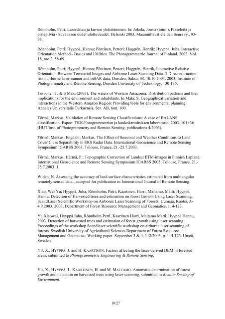
Rönnholm, Petri, Laserdatan <strong>ja</strong> kuvien yhdistäminen. In: Jokela, Jorma (toim.), Pikseleitä <strong>ja</strong>pistepilviä - kuvauksen uudet ulottuvuudet. Helsinki 2003, Maanmittaustieteiden Seura ry., 93-98.Rönnholm, Petri; Hyyppä, Hannu; Pöntinen, Petteri; Haggrén, Henrik; Hyyppä, Juha, InteractiveOrientation Method - Basics and Utilities. The Photogrammetric Journal of Finland, 2003. Vol.18, nro 2, 58-69.Rönnholm, Petri; Hyyppä, Hannu; Pöntinen, Petteri; Haggrén, Henrik, Interactive RelativeOrientation Between Terrestrial Images and Airborne Laser Scanning Data. 3-D reconstructionfrom airborne laserscanner and inSAR data, Dresden, Saksa, 08. 10.10.2003. 2003, Institute ofPhotogrammetry and Remote Sensing, Dresden University of Technology, 130-135.Toivonen T. & S Mäki (2003). The waters of Western Amazonia: Distribution patterns and theirimplications for the environment and inhabitants. In Mäki, S. Geographical variation andinteractions in the Western Amazon Region: Providing tools for environmental planning.Annales Universitatis Turkuensis, Ser. AII, tom. 160.Törmä, Markus, Validation of Remote Sensing Classifications: A case of BALANSclassification. Espoo: TKK/Fotogrammetrian <strong>ja</strong> <strong>kaukokartoituksen</strong> laboratorio, 2003. 101+36(HUT/inst. of Photogrammetry and Remote Sensing, publications 4/2003).Törmä, Markus; Engdahl, Markus, The Effect of Seasonal and Weather Conditions to LandCover Class Separability in ERS Radar Data. International Geoscience and Remote SensingSymposium IGARSS 2003, Tolouse, France, 21.-25.7.2003.Törmä, Markus; Härmä, P.; Topographic Correction of Landsat ETM-images in Finnish Lapland.International Geoscience and Remote Sensing Symposium IGARSS 2003, Tolouse, France, 21.-25.7.2003. 1.Widen, N. Assessing the accuracy of land surface characteristics estimated from multiangularremotely sensed data., accepted for publication in International Journal of Remote Sensing.Xiao, Wei Yu; Hyyppä, Juha; Rönnholm, Petri; Kaartinen, Harri; Maltamo, Matti; Hyyppä,Hannu, Detection of Harvested trees and estimation on forest Growth Using Laser Scanning.ScandLaser Scientific Workshop on Airborne Laser Scanning of Forests, Uuma<strong>ja</strong>, Ruotsi, 3.-4.9.2003. 2003, Department of Forest Resource Management and Geomatics, 114-123.Yu Xiaowei, Hyyppä Juha, Rönnholm Petri, Kaartinen Harri, Maltamo Matti, Hyyppä Hannu,2003. Detection of harvested trees and estimation of forest growth using laser scanning.Proceedings of the workshop Scandlaser scientific workshop on airborne laser scanning offorests. Swedish University of Agricultural Sciences Department of Forest ResourceManagement and Geomatics. Working paper. September 3 & 4, 112/2003, p. 114-123. Umeå,Sweden.YU, X., HYYPPÄ, J. and H. KAARTINEN. Factors affecting the laser-derived DEM in forestedareas, submitted to Photogrammetric Engineering & Remote Sensing.YU, X., HYYPPÄ, J., KAARTINEN, H. and M. MALTAMO. Automatic determination of forestgrowth and detection on harvested trees using laser scanning, submitted to Remote Sensing ofEnvironment.10/27


