Page 1 The California ""- Geographer Annual Publication of the ...
Page 1 The California ""- Geographer Annual Publication of the ...
Page 1 The California ""- Geographer Annual Publication of the ...
You also want an ePaper? Increase the reach of your titles
YUMPU automatically turns print PDFs into web optimized ePapers that Google loves.
COASTAL GEOGRAPHICAL FEATURES OF<br />
LAGUNA GUERRERO NEGRO<br />
RoBERT L. EBERHARDT<br />
Lockheed-<strong>California</strong> Company<br />
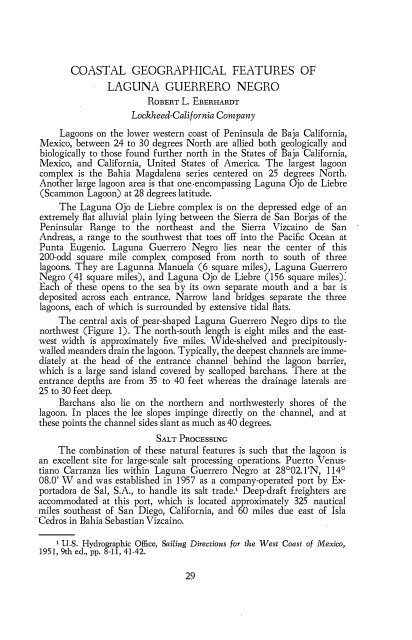
Lagoons on <strong>the</strong> lower western coast <strong>of</strong> Peninsula de Baja <strong>California</strong>,<br />
Mexico, between 24 to 30 degrees North are allied both geologically and<br />
biologically to those found fur<strong>the</strong>r north in <strong>the</strong> States <strong>of</strong> Baja <strong>California</strong>,<br />
Mexico, and <strong>California</strong>, United States <strong>of</strong> America. <strong>The</strong> largest lagoon<br />
complex is <strong>the</strong> Bahia Magdalena series centered on 25 degrees North.<br />
Ano<strong>the</strong>r large lagoon area is that one encompassing Laguna Ojo de Liebre<br />
(Scammon Lagoon) at 28 degrees latitude.<br />
<strong>The</strong> Laguna Ojo de Liebre complex is on <strong>the</strong> depressed edge <strong>of</strong> an<br />
extremely Bat alluvial plain lying between <strong>the</strong> Sierra de San Borjas <strong>of</strong> <strong>the</strong><br />
Peninsular Range to <strong>the</strong> nor<strong>the</strong>ast and <strong>the</strong> Sierra Vizcaino de San<br />
Andreas, a range to <strong>the</strong> southwest that toes <strong>of</strong>f into <strong>the</strong> Paci£c Ocean at<br />
Punta Eugenio. Laguna Guerrero Negro lies near <strong>the</strong> center <strong>of</strong> this<br />
200-odd square mile complex composed from north to south <strong>of</strong> three<br />
lagoons. <strong>The</strong>y are Lagunna Manuela (6 square miles), Laguna Guerrero<br />
Negro (41 square miles), and Laguna Ojo de Liebre (156 square miles).<br />
Each <strong>of</strong> <strong>the</strong>se opens to <strong>the</strong> sea by its own separate mouth and a bar is<br />
deposited across each entrance. Narrow land bridges separate <strong>the</strong> three<br />
lagoons, each <strong>of</strong> which is surrounded by extensive tidal Bats.<br />
<strong>The</strong> central axis <strong>of</strong> pear-shaped Laguna Guerrero Negro dips to <strong>the</strong><br />
northwest (Figure 1). <strong>The</strong> north-south length is eight miles and <strong>the</strong> eastwest<br />
width is approximately £ve miles. Wide-shelved and precipitouslywalled<br />
meanders drain <strong>the</strong> lagoon. Typically, <strong>the</strong> deepest channels are immediately<br />
at <strong>the</strong> head <strong>of</strong> <strong>the</strong> entrance channel behind <strong>the</strong> lagoon barrier,<br />
which is a large sand island covered by scalloped barchans. <strong>The</strong>re at <strong>the</strong><br />
entrance depths are from 35 to 40 feet whereas <strong>the</strong> drainage laterals are<br />
25 to 30 feet deep.<br />
Barchans also lie on <strong>the</strong> nor<strong>the</strong>rn and northwesterly shores <strong>of</strong> <strong>the</strong><br />
lagoon. In places <strong>the</strong> lee slopes impinge directly on <strong>the</strong> channel, and at<br />
<strong>the</strong>se points <strong>the</strong> channel sides slant as much as40 degrees.<br />
SALT PROCESSING<br />
<strong>The</strong> combination <strong>of</strong> <strong>the</strong>se natural features is such that <strong>the</strong> lagoon is<br />
an excellent site for large-scale salt processing operations. Puerto Venustiano<br />
Carranza lies within Laguna Guerrero Negro at 28°02. l'N, 114°<br />
08.0' W and was established in 1957 as a company-operated port by Exportadora<br />
de Sal, S.A., to handle its salt trade.1 Deep-draft freighters are<br />
accommodated at this port, which is located approximately 325 nautical<br />
miles sou<strong>the</strong>ast <strong>of</strong> San Diego, <strong>California</strong>, and 60 miles due east <strong>of</strong> Isla<br />
·cedros in Bahia Sebastian Vizcaino.<br />
1 U.S. Hydrographic Office, Sailing Directions for <strong>the</strong> vVest Coast <strong>of</strong> 1\llexico,<br />
1951, 9th ed., pp. 8-1 1, 41-42.<br />
29


