watervulnerability
watervulnerability watervulnerability
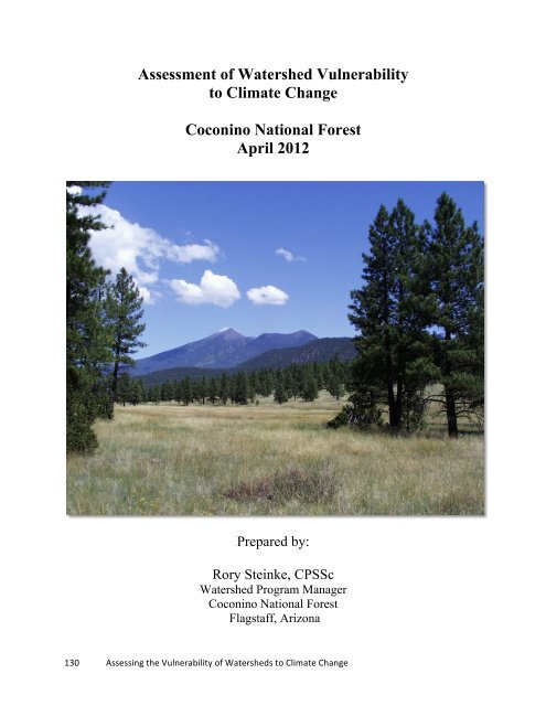
Assessment of Watershed Vulnerability to Climate Change Coconino National Forest April 2012 Prepared by: Rory Steinke, CPSSc Watershed Program Manager Coconino National Forest Flagstaff, Arizona 130 Assessing the Vulnerability of Watersheds to Climate Change
Coconino National Forest Watershed Vulnerability Assessment, Southwest Region (R3) INTRODUCTION This report presents the results of a Watershed Vulnerability Assessment (WVA) conducted on the Coconino National Forest (CNF) during 2010 and 2011. The Forest is located in Arizona in the Southwest Region (R3) of the USFS. The CNF volunteered to participate in a collaborative project between USFS and FS Research to develop processes to assess watershed climate vulnerability. The objective of the assessment was to evaluate the relative vulnerabilities of watersheds to hydrologic changes that could result from a changing climate. The pilot assessment process employed a very simple model of vulnerability, based on the combination of values at risk, the sensitivity of those values to change, and the potential for exposure. The model is illustrated in Figure 1. Figure 1. Conceptual Model for Assessing Watershed Vulnerability The pilot team also established a step-wise approach to the vulnerability assessment. The process is patterned after Watershed Analysis (USDA, 1994). The organization of this report follows the WVA process steps, which are as follows. • Step 1 - Establish the Scope and Water Resource Values that Will Drive the Assessment • Step 2 - Assess Exposure • Step 3 - Assess Watershed Sensitivity and Watershed Condition • Step 4 - Evaluate and Categorize Vulnerability • Step 5 - Response and Recommendations for Making WVA Useful for Managers • Step 6 - Critique the Vulnerability Assessment STEP 1 - Establish the Scope and Water Resource Values that Will Drive the Assessment Five fifth-field watersheds on the Forest were selected for analysis. These watersheds were selected because they support most of the aquatic resource values on the Forest. The watersheds are listed in Table 1, and displayed in Figure 2. 131 Assessing the Vulnerability of Watersheds to Climate Change
- Page 84 and 85: Grand Mesa, Uncompahgre and Gunniso
- Page 86 and 87: Grand Mesa, Uncompahgre and Gunniso
- Page 88 and 89: Grand Mesa, Uncompahgre and Gunniso
- Page 90 and 91: Grand Mesa, Uncompahgre and Gunniso
- Page 92 and 93: Grand Mesa, Uncompahgre and Gunniso
- Page 94 and 95: Grand Mesa, Uncompahgre and Gunniso
- Page 96 and 97: Grand Mesa, Uncompahgre and Gunniso
- Page 98 and 99: Grand Mesa, Uncompahgre and Gunniso
- Page 100 and 101: Grand Mesa, Uncompahgre and Gunniso
- Page 102 and 103: Grand Mesa, Uncompahgre and Gunniso
- Page 104 and 105: Grand Mesa, Uncompahgre and Gunniso
- Page 106 and 107: Grand Mesa, Uncompahgre and Gunniso
- Page 108 and 109: Grand Mesa, Uncompahgre and Gunniso
- Page 110 and 111: Grand Mesa, Uncompahgre and Gunniso
- Page 112 and 113: Grand Mesa, Uncompahgre and Gunniso
- Page 114 and 115: Grand Mesa, Uncompahgre and Gunniso
- Page 116 and 117: Assessment of Watershed Vulnerabili
- Page 118 and 119: White River National Forest Watersh
- Page 120 and 121: White River National Forest Watersh
- Page 122 and 123: White River National Forest Watersh
- Page 124 and 125: White River National Forest Watersh
- Page 126 and 127: White River National Forest Watersh
- Page 128 and 129: White River National Forest Watersh
- Page 130 and 131: White River National Forest Watersh
- Page 132 and 133: White River National Forest Watersh
- Page 136 and 137: Coconino National Forest Watershed
- Page 138 and 139: Coconino National Forest Watershed
- Page 140 and 141: Coconino National Forest Watershed
- Page 142 and 143: Coconino National Forest Watershed
- Page 144 and 145: Coconino National Forest Watershed
- Page 146 and 147: Coconino National Forest Watershed
- Page 148 and 149: Coconino National Forest Watershed
- Page 150 and 151: Coconino National Forest Watershed
- Page 152 and 153: Coconino National Forest Watershed
- Page 154 and 155: Coconino National Forest Watershed
- Page 156 and 157: Coconino National Forest Watershed
- Page 158 and 159: Coconino National Forest Watershed
- Page 160 and 161: Coconino National Forest Watershed
- Page 162 and 163: Coconino National Forest Watershed
- Page 164 and 165: Sawtooth National Forest Watershed
- Page 166 and 167: Sawtooth National Forest Watershed
- Page 168 and 169: Sawtooth National Forest Watershed
- Page 170 and 171: Sawtooth National Forest Watershed
- Page 172 and 173: Sawtooth National Forest Watershed
- Page 174 and 175: Sawtooth National Forest Watershed
- Page 176 and 177: Sawtooth National Forest Watershed
- Page 178 and 179: Sawtooth National Forest Watershed
- Page 180 and 181: Sawtooth National Forest Watershed
- Page 182 and 183: Sawtooth National Forest Watershed
Assessment of Watershed Vulnerability<br />
to Climate Change<br />
Coconino National Forest<br />
April 2012<br />
Prepared by:<br />
Rory Steinke, CPSSc<br />
Watershed Program Manager<br />
Coconino National Forest<br />
Flagstaff, Arizona<br />
130 Assessing the Vulnerability of Watersheds to Climate Change


