Environmental Site Assessment Guidelines - Ohio Department of ...
Environmental Site Assessment Guidelines - Ohio Department of ...
Environmental Site Assessment Guidelines - Ohio Department of ...
You also want an ePaper? Increase the reach of your titles
YUMPU automatically turns print PDFs into web optimized ePapers that Google loves.
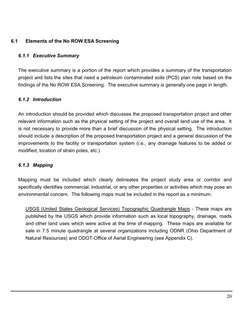
6.1 Elements <strong>of</strong> the No ROW ESA Screening<br />
6.1.1 Executive Summary<br />
The executive summary is a portion <strong>of</strong> the report which provides a summary <strong>of</strong> the transportation<br />
project and lists the sites that need a petroleum contaminated soils (PCS) plan note based on the<br />
findings <strong>of</strong> the No ROW ESA Screening. The executive summary is generally one page in length.<br />
6.1.2 Introduction<br />
An introduction should be provided which discusses the proposed transportation project and other<br />
relevant information such as the physical setting <strong>of</strong> the project and overall land use <strong>of</strong> the area. It<br />
is not necessary to provide more than a brief discussion <strong>of</strong> the physical setting. The introduction<br />
should include a description <strong>of</strong> the proposed transportation project and a general discussion <strong>of</strong> the<br />
improvements to the facility or transportation system (i.e., any drainage features to be added or<br />
modified, location <strong>of</strong> strain poles, etc.)<br />
6.1.3 Mapping<br />
Mapping must be included which clearly delineates the project study area or corridor and<br />
specifically identifies commercial, industrial, or any other properties or activities which may pose an<br />
environmental concern. The following maps must be included in the report as a minimum:<br />
USGS (United States Geological Services) Topographic Quadrangle Maps - These maps are<br />
published by the USGS which provide information such as local topography, drainage, roads<br />
and other land uses which were active at the time <strong>of</strong> mapping. These maps are available for<br />
sale in 7.5 minute quadrangle at several organizations including ODNR (<strong>Ohio</strong> <strong>Department</strong> <strong>of</strong><br />
Natural Resources) and ODOT-Office <strong>of</strong> Aerial Engineering (see Appendix C).<br />
20


