Slayt 1 - RTC, Regional Training Centre - Turkey
Slayt 1 - RTC, Regional Training Centre - Turkey
Slayt 1 - RTC, Regional Training Centre - Turkey
You also want an ePaper? Increase the reach of your titles
YUMPU automatically turns print PDFs into web optimized ePapers that Google loves.
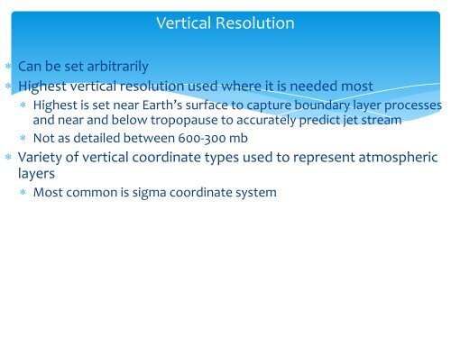
Vertical Resolution Can be set arbitrarily Highest vertical resolution used where it is needed most Highest is set near Earth’s surface to capture boundary layer processesand near and below tropopause to accurately predict jet stream Not as detailed between 600-300 mb Variety of vertical coordinate types used to represent atmosphericlayers Most common is sigma coordinate system


