The Planning System and Flood Risk Management - Offaly County ...
The Planning System and Flood Risk Management - Offaly County ...
The Planning System and Flood Risk Management - Offaly County ...
Create successful ePaper yourself
Turn your PDF publications into a flip-book with our unique Google optimized e-Paper software.
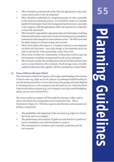
• FRAs should be proportionate to the risk <strong>and</strong> appropriate to the scale,nature <strong>and</strong> location of the development.• FRAs should be undertaken by competent people, as early as possiblein the particular planning process. Use should be made of a suitablyqualified hydrologist, flood risk management professional or specialistwater engineer, with the appropriate skills <strong>and</strong> experience to undertakea flood risk assessment.• FRAs should be supported by appropriate data <strong>and</strong> information, includinghistorical information on previous events, but focusing more on predictiveassessment of less frequent or more extreme events. <strong>The</strong> FRA must takethe likely impacts of climate change into account.• FRAs must address the impact of a change in l<strong>and</strong> use or developmenton flood risk elsewhere. Any such change or development must notadd to <strong>and</strong> should, where practicable, reduce flood risk.• FRAs must consider the vulnerability of those that could occupy thedevelopment, including arrangements for safe access <strong>and</strong> egress.• FRAs should consider the modification to flood risk that infrastructuresuch as raised defences, flow channels, flood-storage areas <strong>and</strong> otherartificial features provide, together with the consequences of their failure.1.3 Source-Pathway-Receptor Model<strong>The</strong> assessment of flood risk requires a thorough underst<strong>and</strong>ing of the sourcesof flood water (e.g. high sea levels, intense or prolonged rainfall leading torun-off <strong>and</strong> increased flow in rivers <strong>and</strong> sewers), the people <strong>and</strong> assets affectedby flooding (known as the receptors) <strong>and</strong> the pathways by which the floodwater reaches those receptors (e.g. river channels, river <strong>and</strong> coastal floodplains,drains, sewers <strong>and</strong> overl<strong>and</strong> flow).<strong>The</strong> source-pathway-receptor (S-P-R) model has become widely used toassess <strong>and</strong> inform the management of environmental risks. This isillustrated in Figure A1. FRA thus requires identification <strong>and</strong> assessment ofall three components:• <strong>The</strong> probability <strong>and</strong> magnitude of the source(s) (e.g. high river levels,sea levels <strong>and</strong> wave heights).• <strong>The</strong> performance <strong>and</strong> response of pathways <strong>and</strong> barriers to pathwayssuch as floodplain areas <strong>and</strong> flood defence systems.• <strong>The</strong> consequences to receptors such as people, properties <strong>and</strong> theenvironment.55<strong>Planning</strong> Guidelines


