

The Planning System and Flood Risk Management - Offaly County ...
The Planning System and Flood Risk Management - Offaly County ...
The Planning System and Flood Risk Management - Offaly County ...

Create successful ePaper yourself
Turn your PDF publications into a flip-book with our unique Google optimized e-Paper software.
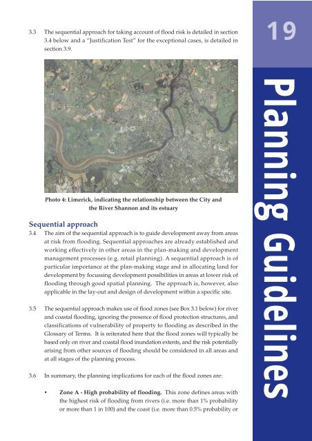
3.3 <strong>The</strong> sequential approach for taking account of flood risk is detailed in section3.4 below <strong>and</strong> a “Justification Test” for the exceptional cases, is detailed insection 3.9.19Photo 4: Limerick, indicating the relationship between the City <strong>and</strong>the River Shannon <strong>and</strong> its estuarySequential approach3.4 <strong>The</strong> aim of the sequential approach is to guide development away from areasat risk from flooding. Sequential approaches are already established <strong>and</strong>working effectively in other areas in the plan-making <strong>and</strong> developmentmanagement processes (e.g. retail planning). A sequential approach is ofparticular importance at the plan-making stage <strong>and</strong> in allocating l<strong>and</strong> fordevelopment by focussing development possibilities in areas at lower risk offlooding through good spatial planning. <strong>The</strong> approach is, however, alsoapplicable in the lay-out <strong>and</strong> design of development within a specific site.3.5 <strong>The</strong> sequential approach makes use of flood zones (see Box 3.1 below) for river<strong>and</strong> coastal flooding, ignoring the presence of flood protection structures, <strong>and</strong>classifications of vulnerability of property to flooding as described in theGlossary of Terms. It is reiterated here that the flood zones will typically bebased only on river <strong>and</strong> coastal flood inundation extents, <strong>and</strong> the risk potentiallyarising from other sources of flooding should be considered in all areas <strong>and</strong>at all stages of the planning process.3.6 In summary, the planning implications for each of the flood zones are:• Zone A - High probability of flooding. This zone defines areas withthe highest risk of flooding from rivers (i.e. more than 1% probabilityor more than 1 in 100) <strong>and</strong> the coast (i.e. more than 0.5% probability or<strong>Planning</strong> Guidelines


