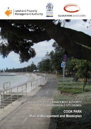
Delivery Program 2009–2012 - Rockdale City Council - NSW ...
Delivery Program 2009–2012 - Rockdale City Council - NSW ...
Delivery Program 2009–2012 - Rockdale City Council - NSW ...

You also want an ePaper? Increase the reach of your titles
YUMPU automatically turns print PDFs into web optimized ePapers that Google loves.
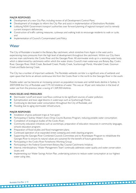
Major Responses◆ Development of a new <strong>City</strong> Plan, including review of all Development Control Plans;◆ Development of strategies to inform the <strong>City</strong> Plan and assist in implementation of Destinations <strong>Rockdale</strong>;◆ Lobbying <strong>NSW</strong> Government transport authorities over forward planning of regional transport and to remedycurrent transport deficiencies;◆ Construction of traffic calming measures, cycleways and walking trails to encourage residents to walk or cycle;and◆ Implementation of <strong>Council</strong>’s Contaminated Land Policy.WaterThe <strong>City</strong> of <strong>Rockdale</strong> is located in the Botany Bay catchment, which stretches from Appin in the west and isexperiencing many pressures from the high level of development throughout the catchment. Within our <strong>City</strong> thereare two main catchments: the Cooks River and the Georges River. All stormwater ends up in a receiving water body,which is determined by catchments within which the water drains. <strong>Council</strong>’s main waterways are Botany Bay, CooksRiver, Georges River, Wolli Creek, Bardwell Creek, Muddy Creek, Scarborough Ponds, Waradiel Creek, GoomunCreek and Bado-berong Creek.The <strong>City</strong> has a number of important wetlands. The <strong>Rockdale</strong> wetlands corridor is a significant area of wetlands andopen space that forms an almost continuous link from the Cooks River in the north to the Georges River in the south.Potable water use has become an increasing concern as population increases and rainfall levels decline in Sydney. In2007/2008 the <strong>City</strong> of <strong>Rockdale</strong> used 7,191,163 kilolitres of water. This was an 18 per cent reduction in the level ofwater use from the previous year, a saving of 1,569,350 kilolitres.Main Issues and Pressures◆ Stormwater runoff and sewer overflows continue to be significant sources of water pollution;◆ Eutrophication and toxic algal blooms in waterways such as Scarborough Ponds;◆ Continuing to decrease water consumption throughout the <strong>City</strong> of <strong>Rockdale</strong>, and◆ Flooding due to aging stormwater infrastructure.Major Responses◆ Installation of gross pollutant traps at ‘hot spots’;◆ Participating in Sydney Water’s Every Drop Counts Business <strong>Program</strong>, reducing potable water consumption;◆ Completion of ecological studies of the Cooks River;◆ Community education initiatives such as workshops, preparation of education resources in community languages,schools education program;◆ Preparation of flood studies and flood management plans;◆ Continued operation of an expanded street sweeping and creek cleaning program;◆ Supporting the Georges River Combined <strong>Council</strong>s Committee and its Riverkeeper <strong>Program</strong> to rehabilitate theGeorges River to ensure its natural values are sustained for the benefit of future generations;◆ Participating in the Cooks River Foreshores Working Group;◆ Participating in the Federal Government Botany Bay Coastal Catchments Initiative;◆ Internal, interdisciplinary ‘Water Management Team’ continually addresses water quality and water conservationissues; and◆ Implementing our Water Savings Action Plan, undertaking actions to reduce water consumption at our highestwater-using sites.<strong>Rockdale</strong> <strong>City</strong> Plan | 42