Manly Lagoon Dredging Project - Manly Council - NSW Government
Manly Lagoon Dredging Project - Manly Council - NSW Government
Manly Lagoon Dredging Project - Manly Council - NSW Government
- No tags were found...

Create successful ePaper yourself
Turn your PDF publications into a flip-book with our unique Google optimized e-Paper software.
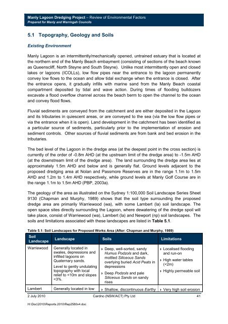
<strong>Manly</strong> <strong>Lagoon</strong> <strong>Dredging</strong> <strong>Project</strong> – Review of Environmental FactorsPrepared for <strong>Manly</strong> and Warringah <strong>Council</strong>s5.1 Topography, Geology and SoilsExisting Environment<strong>Manly</strong> <strong>Lagoon</strong> is an intermittently/mechanically opened, untrained estuary that is located atthe northern end of the <strong>Manly</strong> Beach embayment (consisting of sections of the beach knownas Queenscliff, North Steyne and South Steyne). Unlike most intermittently open and closedlakes or lagoons (ICOLLs), low flow pipes near the entrance to the lagoon permanentlyconvey low flows to the ocean and allow tidal exchange when the entrance is closed. Afterthe entrance opens, it gradually infills with marine sand from the <strong>Manly</strong> Beach coastalcompartment deposited by tidal and wave action. During times of flooding bulldozersexcavate a flood overflow channel across the beach berm to open the channel to the oceanand convey flood flows.Fluvial sediments are conveyed from the catchment and are either deposited in the <strong>Lagoon</strong>and its tributaries in quiescent areas, or are conveyed to the sea (via the low flow pipes orvia the entrance when it is open). Land development in the catchment has been identified asa particular source of sediments, particularly prior to the implementation of erosion andsediment controls. Other sources of fluvial sediments are from bank and bed erosion in thetributaries.The bed level of the <strong>Lagoon</strong> in the dredge area (at the deepest point in the cross section) iscurrently of the order of -0.8m AHD (at the upstream limit of the dredge area) to -1.5m AHD(at the downstream limit of the dredge area). The land surrounding the dredge area lies atapproximately 1.5m AHD and below and is generally flat. Ground levels adjacent to theproposed dredging area at Nolan and Passmore Reserves are in the range 1.1m to 1.5mAHD and 1.2m to 1.4m AHD respectively, while ground levels at <strong>Manly</strong> Golf Course are inthe range 1.1m to 1.5m AHD (PBP, 2003a).The geology of the area as illustrated on the Sydney 1:100,000 Soil Landscape Series Sheet9130 (Chapman and Murphy, 1989) shows that the soil type surrounding the proposeddredge area are primarily Warriewood (wa), with some Lambert (la) soil landscape. Theopen space sites directly surrounding the <strong>Lagoon</strong>, where dewatering of the dredge spoil willtake place, consist of Warriewood (wa), Lambert (la) and Newport (np) soil landscapes. Thesoils and limitations associated with these landscapes are listed in Table 5.1.Table 5.1: Soil Landscapes for Proposed Works Area (After: Chapman and Murphy, 1989)SoilLandscapeWarriewoodLandscape Soils LimitationsGenerally located inswales, depressions andinfilled lagoons onQuaternary sands.Level to gently undulatingtopography with localrelief to