

Mapping to Proposed Zoning By-Law - Town of Innisfil
Mapping to Proposed Zoning By-Law - Town of Innisfil
Mapping to Proposed Zoning By-Law - Town of Innisfil

You also want an ePaper? Increase the reach of your titles
YUMPU automatically turns print PDFs into web optimized ePapers that Google loves.
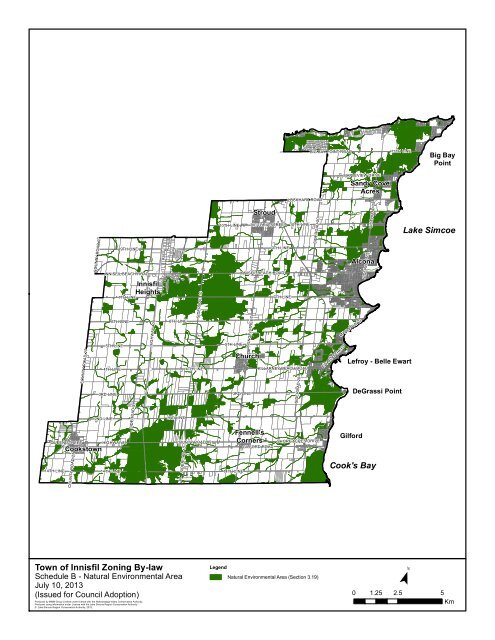
BIG BAY POINT ROAD13TH LINEBig BayPointCOUNTY ROAD 27COUNTY ROAD 279TH LINEINNISFIL BEACH ROAD6TH LINE5TH LINE4TH LINE3RD LINE7TH LINE<strong>Innisfil</strong>HeightsHIGHWAY 4006TH LINESIDEROAD 104TH LINE10TH LINE5TH LINEYONGE STREET3RD LINEStroudVICTORIA STREET9TH LINEINNISFIL BEACH ROADChurchill7TH LINELOCKHART ROAD10TH LINEKILLARNEY BEACH ROADSIDEROAD 20SIDEROAD 20EWART STREETMAPLEVIEW DRIVESandy CoveAcresMAPLE ROADSIDEROAD 25SIDEROAD 25AlconaLefroy - Belle EwartDeGrassi PointLake SimcoeQUEEN STREET14TH LINECooks<strong>to</strong>wnCOUNTY ROAD 272ND LINEHIGHWAY 8914TH LINESIDEROAD 52ND LINECOUNTY ROAD 89SIDEROAD 1014TH LINEFennell'sCornersGILFORD ROADSHORE ACRES DRIVEGilfordCook's Bay<strong>Town</strong> <strong>of</strong> <strong>Innisfil</strong> <strong>Zoning</strong> <strong>By</strong>-lawLegendSchedule B - Natural Environmental AreaNatural Environmental Area (Section 3.19)July 10, 2013(Issued for Council Adoption) 0 1.25 2.5 5KmProduced by MMM Group Limited under license with the Nottawasaga Valley Conservation Authority.Produced using information under License with the Lake Simcoe Region Conservation Authority© Lake Simcoe Region Conservation Authority, 2012.¯


