

Mapping to Proposed Zoning By-Law - Town of Innisfil
Mapping to Proposed Zoning By-Law - Town of Innisfil
Mapping to Proposed Zoning By-Law - Town of Innisfil

Create successful ePaper yourself
Turn your PDF publications into a flip-book with our unique Google optimized e-Paper software.
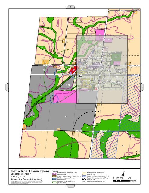
7RRAG2ND LINEAGEPRR-1RRAGAG-22AG-22AGEPAG-10AGAGAGCSAGCSEPRR AGAGR1EPR1-19R1IGCSCNR2AGR1-33(H) R1-33(H)OSR1-33(H)R1(H)R1-17R1MU5CN-13RRR3-1R1 R1EPR1 OS R1-18 R1 R1 R1CSR1MU5R1CS-7MU5RRMU5-2MU5-4MU5-6CSAGMU5-1 R1RS(H)R1-20(H)FDOSMU5-7(H)RAILCN-19 CS R1(H)CSR1 R1-20(H)R1CSR1(H)AGCSR1-20(H)R1 CSCS62R1R1-21(H)RA-3AGRS-5(H) RS-5(H)CN-16R1R1-22(H)R1-21(H)R1-22(H)RA-4FDFD-1(H)RS-5(H)R1R1-21(H)R1RS-5(H)RSC-1(H)R1EPRS-5(H)HIGHWAY 89 QUEEN STREETRROSRRRREPAG-17AGCSRRCH-1RSC-1(H)MU5CNR1RS(H)RS-6(H)R1CSRAILR1R1R1R1OSMU5R1R1R1R1CHMU5KING STREET SOUTHR1R1KING STREET NORTHR1COUNTY ROAD 27R1R1CN-20R1R1R1CNR1R1R1CHURCH STREETR1R1R1R1R1OSR1R1R1R1-23FDR1R1RRAGRRCSRRHIGHWAY 89RR15TH LINE2EPCSAGFDRRFDFDFDFDEPFDRRRRRR14TH LINEEPEPCOUNTY ROAD 27EP14TH LINEAGEPAGEPAGEPAGAGEPAGEP<strong>Town</strong> <strong>of</strong> <strong>Innisfil</strong> <strong>Zoning</strong> <strong>By</strong>-lawSchedule A - Map 1July 10, 2013(Issued for Council Adoption)Produced by MMM Group Limited under license with the Nottawasaga Valley Conservation Authority.Produced using information under License with the Lake Simcoe Region Conservation Authority© Lake Simcoe Region Conservation Authority, 2012.LegendHazard Lands (Regulated Area)(Section 3.19)! ! !Intake Protection Zone (Section 3.51)Wellhead Protection Area A(Section 3.51)Wellhead Protection Area B(Section 3.51)! ! !!! !Primary Visual Impact Area(Section 3.32)Waste Disposal Site (Section 3.47)Waste Disposal Assessment Area(Section 3.47)W - W Waterfront Lots (Section 3.49)W W¯0 100 200 400Meters


