

Mapping to Proposed Zoning By-Law - Town of Innisfil
Mapping to Proposed Zoning By-Law - Town of Innisfil
Mapping to Proposed Zoning By-Law - Town of Innisfil

You also want an ePaper? Increase the reach of your titles
YUMPU automatically turns print PDFs into web optimized ePapers that Google loves.
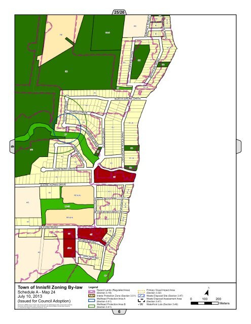
NEILLY ROADEVERTON DRIVER1R1-WREOS-525/26AGDEMPSEY STREETR1R1R1OSERL PLACER1-WR1-WOSR1PARKVIEW DRIVEOSR1BAYSHORE ROADOSEPR1-WR1NORTH SHORE DRIVEGOLFVIEW DRIVER1R1VERNOR DRIVER1-WCSR1R1PARKWAY DRIVELAKESHORE BOULEVARDEP6OSOSOSMARINE DRIVER1R1-WR1R1GLEN KERR DRIVEOSR1CTSHORE ACRES DRIVEAGR1EP-13RE-6(H)R1LINDY LANER1POPLAR DRIVEBEACH ROADR1-WR1RE-6(H)R1R1-WGILFORD ROADR1AGR1CTCT-4CTNESBITT ROADR1R1BEACH ROADR1-WBIRCH ROADEP<strong>Town</strong> <strong>of</strong> <strong>Innisfil</strong> <strong>Zoning</strong> <strong>By</strong>-lawSchedule A - Map 24July 10, 2013(Issued for Council Adoption)Produced by MMM Group Limited under license with the Nottawasaga Valley Conservation Authority.Produced using information under License with the Lake Simcoe Region Conservation Authority© Lake Simcoe Region Conservation Authority, 2012.LegendHazard Lands (Regulated Area)(Section 3.19)! ! !Intake Protection Zone (Section 3.51)Wellhead Protection Area A(Section 3.51)Wellhead Protection Area B(Section 3.51)! ! !!! !6Primary Visual Impact Area(Section 3.32)Waste Disposal Site (Section 3.47)Waste Disposal Assessment Area(Section 3.47)W - W Waterfront Lots (Section 3.49)W W¯0 100 200Meters


