

Mapping to Proposed Zoning By-Law - Town of Innisfil
Mapping to Proposed Zoning By-Law - Town of Innisfil
Mapping to Proposed Zoning By-Law - Town of Innisfil

You also want an ePaper? Increase the reach of your titles
YUMPU automatically turns print PDFs into web optimized ePapers that Google loves.
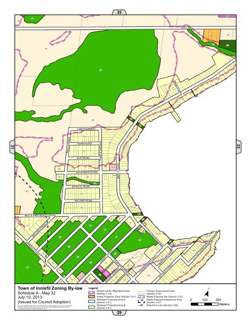
MAPLE ROADAGEP35CS6TH LINEAGRRAGAGEPOSEPR1-WMAPLE WAYR1R1-WR1-WAGOSOSLARCH STREET31REID AVENUER1FERN ROADR1R1R1-W33TEMPLE AVENUEELM ROADR1R1R1SPOONERS ROADR1CN-2SPRUCE ROADEPAGAGR1R1BALSAM ROADRRR1R1-WR1BELLE AIRE BEACH ROADR1ARNOLD STREETEPR1WILLOW STREETR1EPR1 R1EPR1R1EPR1EPR1CN-14<strong>Town</strong> <strong>of</strong> <strong>Innisfil</strong> <strong>Zoning</strong> <strong>By</strong>-lawSchedule A - Map 32July 10, 2013(Issued for Council Adoption)Produced by MMM Group Limited under license with the Nottawasaga Valley Conservation Authority.Produced using information under License with the Lake Simcoe Region Conservation Authority© Lake Simcoe Region Conservation Authority, 2012.R1CSEPEPR1R1CSCSOSEPR1CSR1R1EPEWART STREETEPR1GOLDIE STREETR1CHAPMAN STREETR1R1R1AGLegendHazard Lands (Regulated Area)(Section 3.19)! ! !Intake Protection Zone (Section 3.51)Wellhead Protection Area A(Section 3.51)Wellhead Protection Area B(Section 3.51)! ! !!! !29R1R1OSR1-WRA-2EPR1OSR1AGCLAVER AVENUEAGR1FREDERICK STREETR1-WR1OSR1R1MARTHA STREETALFRED STREETR1-WR1-WPrimary Visual Impact Area(Section 3.32)Waste Disposal Site (Section 3.47)Waste Disposal Assessment Area(Section 3.47)W - W Waterfront Lots (Section 3.49)W WR1R1-WLITTLE CEDAR AVENUE¯0 100 200Meters


