Site no OFIAR-042-008 Mill Park - Offaly County Council
Site no OFIAR-042-008 Mill Park - Offaly County Council
Site no OFIAR-042-008 Mill Park - Offaly County Council
Create successful ePaper yourself
Turn your PDF publications into a flip-book with our unique Google optimized e-Paper software.
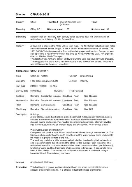
<strong>Site</strong> <strong>no</strong><strong>OFIAR</strong>-<strong>042</strong>-017<strong>County</strong> <strong>Offaly</strong> Townland Clyduff (Clonlisk By);{<strong>Mill</strong>town}TownPlanning <strong>Offaly</strong> CC Discovery map 53 Six-inch map 42SummaryDerelict shell of 18th/early 19th century water-powered flour mill with remains ofwaterwheel on tributary of Little Brosna River.HistoryA flour mill is cited on the 1838 OS six-inch map. The 1840s <strong>Mill</strong> Valuation book <strong>no</strong>tesa flour mill under James Bergin. A 14ft x 2ft 9in wheel drove two sets of stones. The1851 Griffith Valuation <strong>no</strong>tes the flour mill as being operated by John Bergin; he wasalso operating a nearby flour mill at this time as well (<strong>OFIAR</strong>-043-002). Not explicitlycited on 1885 or 1909 OS maps.This location was formerly part of <strong>Mill</strong>town townland until the boundary was changed.This suggests that there was a mill hereabouts in the 1700s if <strong>no</strong>t before. Whether itwas at this spot is, however, uncertain.Component <strong>OFIAR</strong>-<strong>042</strong>-017 1TypeGrain mill (water)FunctionGrain millingCategory Food processing & products Context IndustryIrish Grid 207081 190570 +/- 10mSurvey date 01/08/2003SurveyorFred HamondBuildingWaterworksPlantMachineryDescriptionRemains Substantial remains Condition Poor Use DisusedRemains Substantial remains Condition Poor Use DisusedRemains Some remains Condition Poor Use DisusedRemains No visible remains Condition N/A Use N/ABuildingsA four-storey, seven-bay building aligned east-west. Although <strong>no</strong>w roofless, gablesindicate it formerly had a pitched natural slate roof. Random rubble walls withdressed quoins and eaves. Flat-headed brick-trimmed openings. Internally dividedinto three structural bays, all without floors and overgrown. No evidence of kiln.Waterworks, plant and machineryOvergrown mill pond at rear. Water therefrom still flows through waterwheel pit. Thetailrace arch is evident on the <strong>no</strong>rth elevation but the water is <strong>no</strong>w piped underneaththe made-up ground in front of the mill.The east bay contains a wide waterwheel pit, divided into two longitudinal sections,one to accommodate the wheel and the other for the overspill from the pond. Thewaterwheel remains comprise a round timber axle, one cast-iron hub (partly broken),two timber arms and two fragments of rim covered in limescale. It appears to havebeen 4.27m dia by 1.22m wide (14ft x 4ft) and to have had a pitchback or highbreastshot feed. No machinery survives.InterestEvaluationArchitectural; HistoricalThis building is a typical medium-sized mill and has some technical interest onaccount of its wheel remains. It is of local industrial heritage significance.


