Terms of Reference - North Queensland Bulk Ports Corporation
Terms of Reference - North Queensland Bulk Ports Corporation
Terms of Reference - North Queensland Bulk Ports Corporation
- No tags were found...

You also want an ePaper? Increase the reach of your titles
YUMPU automatically turns print PDFs into web optimized ePapers that Google loves.
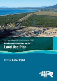
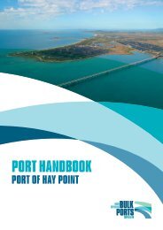
Part A.About the project1. Project summaryThe proponents propose to develop:• two separate new coal export terminals at Dudgeon Point, with a combined exportcapacity <strong>of</strong> up to 180 million tonnes per annum (Mtpa) <strong>of</strong> coal• six rail loops and train unloading facilities, plus a rail connection to the Goonyella railsystem including a rail overpass at Hay Point Road• <strong>of</strong>fshore wharf facilities for eight ship berths. The wharves will be connected to shorevia two jetty structures. Dredging <strong>of</strong> approximately 13–15 million cubic metres (Mm 3 )will be carried out to create berth pockets and a departure apron for ships• expanded tug facilities to accommodate up to ten extra tug and service berths.The proposed port terminals site is located on Strategic Port Land (SPL) at DudgeonPoint in the Port <strong>of</strong> Hay Point, 25 kilometres (km) south <strong>of</strong> Mackay and 20 km north <strong>of</strong>Sarina, on the Central <strong>Queensland</strong> coast. The site is approximately 4 km north-west <strong>of</strong>the existing coal terminals at the port and 10 km east <strong>of</strong> the Bruce Highway. NQBPholds approximately 1400 hectares (ha) <strong>of</strong> land for port use at Dudgeon Point.The Port <strong>of</strong> Hay Point is situated close to the beachside localities <strong>of</strong> Louisa Creek,Salonika and Half Tide, and the rural residential communities <strong>of</strong> Timberlands andFenechvale. The Port Limits, as defined in the Transport Infrastructure Act 1994 (Qld)(TIA), extend to Half Tide Tug Harbour in the south and to Bakers Creek in the north.While the port is within the Mackay Regional Council (MRC) Local Government Area,port land designated as SPL and port waters are under the planning control <strong>of</strong> NQBPas the port authority under the TIA.The port is partly within the Great Barrier Reef World Heritage Area (GBRWHA) and<strong>of</strong>fshore areas overlap with the Great Barrier Reef Marine Park (GBRMP). Theproposed port infrastructure (that is, jetties and ship berths) and ship departure pathdredging would be located outside the bounds <strong>of</strong> the GBRMP but other works,including the <strong>of</strong>fshore spoil disposal, may be within the GBRMP and GBRWHA.Further information on the project can be viewed at:www.projects.industry.qld.gov.au2. Project proponentThe project has three proponents:• NQBP• Adani• DPPM.A fourth proponent is presently being negotiated, to be responsible for design andconstruction <strong>of</strong> the rail spur to Dudgeon Point.About the projectDudgeon Point Coal Terminals Project<strong>Terms</strong> <strong>of</strong> reference for an environmental impact statement- 3 -