performance specification digital terrain elevation data
performance specification digital terrain elevation data
performance specification digital terrain elevation data
You also want an ePaper? Increase the reach of your titles
YUMPU automatically turns print PDFs into web optimized ePapers that Google loves.
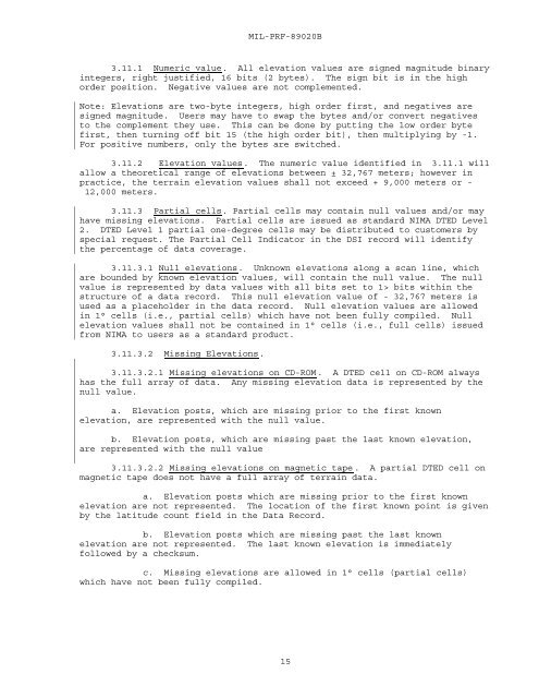
MIL-PRF-89020B3.11.1 Numeric value. All <strong>elevation</strong> values are signed magnitude binaryintegers, right justified, 16 bits (2 bytes). The sign bit is in the highorder position. Negative values are not complemented.Note: Elevations are two-byte integers, high order first, and negatives aresigned magnitude. Users may have to swap the bytes and/or convert negativesto the complement they use. This can be done by putting the low order bytefirst, then turning off bit 15 (the high order bit), then multiplying by -1.For positive numbers, only the bytes are switched.3.11.2 Elevation values. The numeric value identified in 3.11.1 willallow a theoretical range of <strong>elevation</strong>s between ± 32,767 meters; however inpractice, the <strong>terrain</strong> <strong>elevation</strong> values shall not exceed + 9,000 meters or -12,000 meters.3.11.3 Partial cells. Partial cells may contain null values and/or mayhave missing <strong>elevation</strong>s. Partial cells are issued as standard NIMA DTED Level2. DTED Level 1 partial one-degree cells may be distributed to customers byspecial request. The Partial Cell Indicator in the DSI record will identifythe percentage of <strong>data</strong> coverage.3.11.3.1 Null <strong>elevation</strong>s. Unknown <strong>elevation</strong>s along a scan line, whichare bounded by known <strong>elevation</strong> values, will contain the null value. The nullvalue is represented by <strong>data</strong> values with all bits set to 1> bits within thestructure of a <strong>data</strong> record. This null <strong>elevation</strong> value of - 32,767 meters isused as a placeholder in the <strong>data</strong> record. Null <strong>elevation</strong> values are allowedin 1° cells (i.e., partial cells) which have not been fully compiled. Null<strong>elevation</strong> values shall not be contained in 1° cells (i.e., full cells) issuedfrom NIMA to users as a standard product.3.11.3.2 Missing Elevations.3.11.3.2.1 Missing <strong>elevation</strong>s on CD-ROM. A DTED cell on CD-ROM alwayshas the full array of <strong>data</strong>. Any missing <strong>elevation</strong> <strong>data</strong> is represented by thenull value.a. Elevation posts, which are missing prior to the first known<strong>elevation</strong>, are represented with the null value.b. Elevation posts, which are missing past the last known <strong>elevation</strong>,are represented with the null value3.11.3.2.2 Missing <strong>elevation</strong>s on magnetic tape. A partial DTED cell onmagnetic tape does not have a full array of <strong>terrain</strong> <strong>data</strong>.a. Elevation posts which are missing prior to the first known<strong>elevation</strong> are not represented. The location of the first known point is givenby the latitude count field in the Data Record.b. Elevation posts which are missing past the last known<strong>elevation</strong> are not represented. The last known <strong>elevation</strong> is immediatelyfollowed by a checksum.c. Missing <strong>elevation</strong>s are allowed in 1° cells (partial cells)which have not been fully compiled.15


