Innisfil Official Plan OMB Approved - Town of Innisfil
Innisfil Official Plan OMB Approved - Town of Innisfil
Innisfil Official Plan OMB Approved - Town of Innisfil
You also want an ePaper? Increase the reach of your titles
YUMPU automatically turns print PDFs into web optimized ePapers that Google loves.
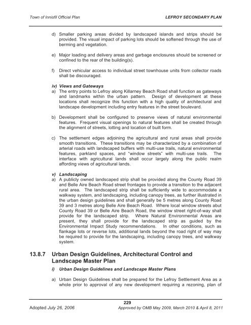
<strong>Town</strong> <strong>of</strong> <strong>Innisfil</strong> <strong>Official</strong> <strong>Plan</strong>LEFROY SECONDARY PLANd) Smaller parking areas divided by landscaped islands and strips should beprovided. The visual impact <strong>of</strong> parking lots should be s<strong>of</strong>tened through the use <strong>of</strong>berming and vegetation.e) Major loading and delivery areas and garbage enclosures should be screened orconfined to the rear <strong>of</strong> the building(s).f) Direct vehicular access to individual street townhouse units from collector roadsshall be discouraged.iv) Views and Gatewaysa) The entry points to Lefroy along Killarney Beach Road shall function as gatewaysand landmarks within the urban pattern. Design <strong>of</strong> development at theselocations shall recognize this function with a high quality <strong>of</strong> architectural andlandscape development including entry features in the street boulevard.b) Development shall be configured to preserve views <strong>of</strong> natural environmentalfeatures. Frequent visual openings to natural features shall be created throughthe alignment <strong>of</strong> streets, lotting and location <strong>of</strong> built form.c) The settlement edges adjoining the agricultural and rural areas shall providesmooth transitions. These transitions may be characterized by a combination <strong>of</strong>arterial roads with landscaped buffers with multi-use trails, natural environmentalfeatures, parkland spaces, and “window streets” with multi-use trails. Theinterface with agricultural lands shall occur largely along the public realmaffording views <strong>of</strong> agricultural lands.v) Landscapinga) A publicly owned landscaped strip shall be provided along the County Road 39and Belle Aire Beach Road street frontages to provide a transition to the adjacentrural area. The landscaped strip shall be sufficiently wide to accommodate awalkway system, and landscaping, including canopy trees, as further illustrated inthe urban design guidelines and shall generally be 5 metres along County Road39 and 3 metres along Belle Aire Beach Road. Where local window streets abutCounty Road 39 or Belle Aire Beach Road, the window street right-<strong>of</strong>-way shallprovide for the landscaped strip. Where Natural Environmental Areas arepresent, they shall provide for the landscaped strip as guided by theEnvironmental Impact Study recommendations. In other conditions, such asflankage lots or reverse lots, additional lands beyond the road right <strong>of</strong> way maybe required to provide for the landscaping, including canopy trees, and walkwaysystem.13.8.7 Urban Design Guidelines, Architectural Control andLandscape Master <strong>Plan</strong>i) Urban Design Guidelines and Landscape Master <strong>Plan</strong>sa) Urban Design Guidelines shall be prepared for the Lefroy Settlement Area as awhole prior to approval <strong>of</strong> any new development requiring a rezoning, plan <strong>of</strong>229Adopted July 26, 2006 <strong>Approved</strong> by <strong>OMB</strong> May 2009, March 2010 & April 8, 2011


