

The Soils of Elgin County - Agriculture and Agri-Food Canada
The Soils of Elgin County - Agriculture and Agri-Food Canada
The Soils of Elgin County - Agriculture and Agri-Food Canada
- No tags were found...

Create successful ePaper yourself
Turn your PDF publications into a flip-book with our unique Google optimized e-Paper software.
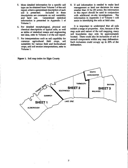
5. More detailed information for a specific soiltype can be obtained from Volume 1 <strong>of</strong> the soilreport, where a generalized description <strong>of</strong> eachsoil is presented. Included in thesedescriptions are comments on soil variability<strong>and</strong> l<strong>and</strong> use. Generalized statisticalinformation is presented in Appendix 1 <strong>of</strong>Volume 1 .6. For detailed morphological, physical <strong>and</strong>chemical descriptions <strong>of</strong> typical soils, as wellas tables <strong>of</strong> statistical means <strong>and</strong> engineeringtest data, refer to Volume 2 <strong>of</strong> the soil report.7 . For interpretations such as soil capability forcommon agricultural field crops, soilsuitability for various field <strong>and</strong> horticulturalcrops, <strong>and</strong> soil erosion interpretations, refer toVolume 1 .8. If soil information is needed to make l<strong>and</strong>management or l<strong>and</strong> use decisions for areassmaller than 12 ha (30 acres), the informationin this report should be used in conjunctionwith additional on-site investigations . <strong>The</strong>information in Appendix 2 <strong>of</strong> Volume 1 willassist in identifying the soils at field sites .It is important to underst<strong>and</strong> that all soilsexhibit a range <strong>of</strong> properties. Also, because <strong>of</strong> themap scale <strong>and</strong> nature <strong>of</strong> the soil mapping, manysoil boundaries may only be approximatelylocated . <strong>The</strong>re could also be inclusions <strong>of</strong> soil ornonsoil components within any map delineation .Such inclusions could occupy up to 20% <strong>of</strong> thedelineation.Figure 1.Soil map index for <strong>Elgin</strong> <strong>County</strong>SOUTHDORCHESTERJ X-1e5 Ps\'i.DUNWICHSHEET 2SOUTHWOLDYARMOUTHMALAHIDEBAYRAMSHEET 3ALDBOROUGHSHEET 1LAKE ERIE


