Manual on sea level measurement and ... - unesdoc - Unesco
Manual on sea level measurement and ... - unesdoc - Unesco
Manual on sea level measurement and ... - unesdoc - Unesco
- No tags were found...
Create successful ePaper yourself
Turn your PDF publications into a flip-book with our unique Google optimized e-Paper software.
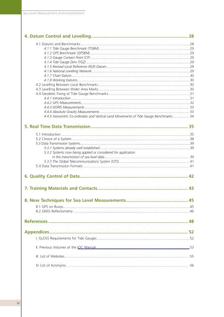
Sea Level Measurement <strong>and</strong> Interpretati<strong>on</strong>4. Datum C<strong>on</strong>trol <strong>and</strong> Levelling ............................................................................. 284.1 Datums <strong>and</strong> Benchmarks ..............................................................................................................284.1.1 Tide Gauge Benchmark (TGBM) ..................................................................................................294.1.2 GPS Benchmark (GPSBM) ............................................................................................................294.1.3 Gauge C<strong>on</strong>tact Point (CP) ...........................................................................................................294.1.4 Tide Gauge Zero (TGZ) ................................................................................................................294.1.5 Revised Local Reference (RLR) Datum ..........................................................................................294.1.6 Nati<strong>on</strong>al Levelling Network .........................................................................................................294.1.7 Chart Datum ...............................................................................................................................304.1.8 Working Datums .........................................................................................................................304.2 Levelling Between Local Benchmarks ............................................................................................304.3 Levelling Between Wider Area Marks ...........................................................................................304.4 Geodetic Fixing of Tide Gauge Benchmarks ..................................................................................314.4.1 Introducti<strong>on</strong> ............................................................................................................................... 314.4.2 GPS Measurements .....................................................................................................................324.4.3 DORIS Measurements ................................................................................................................ 334.4.4 Absolute Gravity Measurements ................................................................................................ 334.4.5 Geocentric Co-ordinates <strong>and</strong> Vertical L<strong>and</strong> Movements of Tide Gauge Benchmarks .................. 345. Real Time Data Transmissi<strong>on</strong> ............................................................................. 355.1 Introducti<strong>on</strong> .................................................................................................................................355.2 Choice of a System ......................................................................................................................385.3 Data Transmissi<strong>on</strong> Systems ......................................................................................................................395.3.1 Systems already well established .................................................................................................395.3.2 Systems now being applied or c<strong>on</strong>sidered for applicati<strong>on</strong>in the transmissi<strong>on</strong> of <strong>sea</strong> <strong>level</strong> data ............................................................................................395.3.3 The Global Telecommunicati<strong>on</strong>s System (GTS) ............................................................................415.4 Data Transmissi<strong>on</strong> Formats ...........................................................................................................416. Quality C<strong>on</strong>trol of Data ...................................................................................... 427. Training Materials <strong>and</strong> C<strong>on</strong>tacts ........................................................................ 438. New Techniques for Sea Level Measurements ................................................. 458.1 GPS <strong>on</strong> Buoys ...............................................................................................................................458.2 GNSS Reflectometry .....................................................................................................................46References ............................................................................................................... 48Appendices .............................................................................................................. 52I. GLOSS Requirements for Tide Gauges .............................................................................................52II. Previous Volumes of the IOC <str<strong>on</strong>g>Manual</str<strong>on</strong>g> ..............................................................................................53III. List of Websites ..............................................................................................................................55IV. List of Acr<strong>on</strong>yms ............................................................................................................................56iv


