Sydney Vallance (Fryatt) Hut - The Alpine Club of Canada
Sydney Vallance (Fryatt) Hut - The Alpine Club of Canada
Sydney Vallance (Fryatt) Hut - The Alpine Club of Canada

You also want an ePaper? Increase the reach of your titles
YUMPU automatically turns print PDFs into web optimized ePapers that Google loves.
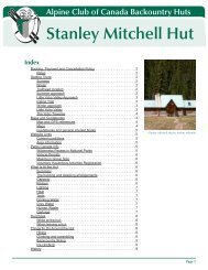
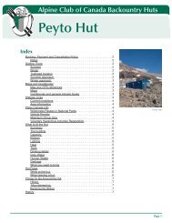
<strong>Sydney</strong> <strong>Vallance</strong> <strong>Alpine</strong> <strong>Club</strong> (<strong>Fryatt</strong>) <strong>of</strong> <strong>Hut</strong> <strong>Canada</strong> Backountry <strong>Hut</strong>s<br />
Back to Index<br />
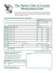
Name <strong>of</strong> <strong>Hut</strong><br />
View the Booking, Payment and Cancellation Policies at www .alpineclub<strong>of</strong>canada .ca/facility/reservations .html<br />
Booking, Payment and Cancellation Policy<br />
Rates<br />
Visit www .alpineclub<strong>of</strong>canada .ca/facility/rates .html for current hut and wilderness pass prices .<br />
Getting <strong>The</strong>re<br />
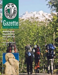
<strong>The</strong> <strong>Fryatt</strong> <strong>Hut</strong> sits in a small meadow by <strong>Fryatt</strong> Creek at the top <strong>of</strong> a headwall in the upper <strong>Fryatt</strong> Valley, Jasper<br />
National Park . <strong>The</strong> following information should be used in conjunction with the correct topographic map (maps<br />
are listed below) .<br />
Summer<br />
Trailhead location: 3 .2 km <strong>of</strong>f Hwy 93 A, 32 km south <strong>of</strong> Jasper Townsite<br />
Hiking distance: 23 km<br />
Elevation gain: 765 metres (2,510 feet)<br />
Approximate time: 5-8 Hours<br />
<strong>The</strong> only access route to the hut is up the <strong>Fryatt</strong> Valley. On the first part <strong>of</strong> the approach, however, there are two<br />
options. From the trailhead there is 11.5km <strong>of</strong> trail, which follows an old fire road parallel to the Athabasca River<br />
and the 93 Highway . It is possible to either hike this portion, or (recommended) ride it on a mountain bike . <strong>The</strong><br />
mountain biking will cut a couple <strong>of</strong> hours <strong>of</strong>f the trip in each direction, and makes for a fun ride coming back down<br />
from the campground . A third option is to cross the Athabasca where the trail and the highway are closest, thereby<br />
cutting about 7km <strong>of</strong>f the trek .<br />
<strong>Fryatt</strong> Valley Approach<br />
Trailhead: 32 km south <strong>of</strong> the Jasper Townsite is Athabasca Falls and the junction for highway 93A . Drive the 93A<br />
for 1 km to a gravel road on the left signed Geraldine Lakes Road . Take this gravel road for 2 .2km to a small pull-<strong>of</strong>f<br />
on the left signed as the trailhead for the <strong>Fryatt</strong> Creek Valley. Hike or bike the fire road trail for 11.5km to the Lower<br />
<strong>Fryatt</strong> Campground . This is as far as you are permitted to ride a mountain bike, and it is also as far as you would<br />
want to take one, as the trail from here begins to gain elevation more rapidly. <strong>The</strong>re are sufficient trees and foodhanging<br />
poles to lock your bike to, providing you have a chain, a small kryptonite lock won’t fit around the trees.<br />
Approach: From the campground, cross the bridge onto the east side <strong>of</strong> the creek and continue uphill for about<br />
four or five km to a point where the trail crosses back to the west side <strong>of</strong> the creek on another bridge. Back on<br />
the west side <strong>of</strong> the creek, the trail becomes less distinct and harder to follow on moraine and creek beds, but it<br />
well marked with cairns . <strong>The</strong> trail passes the Brussels Campground and <strong>Fryatt</strong> Lake via the west shore before<br />
reaching the Headwall Campground and the final grunt to the hut. <strong>The</strong> headwall itself is no fun. <strong>The</strong> route now<br />
rises very abruptly, and climbs pretty much straight up a trail ranging from very good to very loose for 200 vertical<br />
metres (650 feet) . <strong>The</strong> good news is that as soon as you are done the grunt up the headwall, you can take <strong>of</strong>f<br />
your pack and make a cup <strong>of</strong> tea: you have arrived. <strong>The</strong> hut is located in the first flat spot in the meadow only<br />
100m from the top <strong>of</strong> the slope .<br />
Time, Distance & Elevation: From the trailhead on the Geraldine Lakes Road to the hut, you will gain 2,510 feet<br />
(765 metres) . Time for this approach will depend on your choice <strong>of</strong> transportation . From the trailhead to the Lower<br />
<strong>Fryatt</strong> Campground on mountain bike will take between one and one and a half hours . Hiking this section will be<br />
more in the neighborhood <strong>of</strong> two and a half to three hours . Hiking from the campground to the hut will be in the<br />
three and a half to five hour range. Total time could be as fast as four and a half hours if you take a bike, or five<br />
and a half hours if you hike the whole trail . Parties not trying to break records should probably expect to take most<br />
<strong>of</strong> a day, as the total mileage is approximately 23 km to the hut .<br />
Page 2