October 2012 - Journal of Threatened Taxa
October 2012 - Journal of Threatened Taxa
October 2012 - Journal of Threatened Taxa

You also want an ePaper? Increase the reach of your titles
YUMPU automatically turns print PDFs into web optimized ePapers that Google loves.
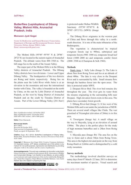
JoTT No t e 4(12): 3137–3160Butterflies (Lepidoptera) <strong>of</strong> DibangValley, Mishmi Hills, ArunachalPradesh, IndiaMonsoon Jyoti GogoiCentre for Biodiversity and Natural Resource Conservation,Department <strong>of</strong> Ecology and Environmental Science, AssamUniversity, Silchar, Assam 788011, IndiaEmail: monsoonjyoti@gmail.comThe Mishmi Hills (95 0 49’–95 0 59’ N & 28 0 06’–28 0 23’E) are located in the eastern region <strong>of</strong> ArunachalPradesh. The altitude varies from 400–3568 m. Thehill range lies to the north <strong>of</strong> the Assam Valley.The major part <strong>of</strong> the Mishmi Hills is in the DibangValley districts <strong>of</strong> Arunachal Pradesh. The DibangValley districts have two divisions - Lower and UpperDibang Valley. The headquarters <strong>of</strong> the two districtsare Roing and Anini, respectively. Roing lies onthe plains near the Lohit River while Anini is at anelevation in the mountains and near the internationalborder with China. The valley is bounded on the northby China, on the east by Lohit District <strong>of</strong> ArunachalPradesh, on the west by Siang District <strong>of</strong> ArunachalPradesh and on the south by Tinsukia District <strong>of</strong>Assam. Part <strong>of</strong> the Lower Dibang Valley (281.5km 2 )Date <strong>of</strong> publication (online): 10 <strong>October</strong> <strong>2012</strong>Date <strong>of</strong> publication (print): 10 <strong>October</strong> <strong>2012</strong>ISSN 0974-7907 (online) | 0974-7893 (print)Editor: Peter SmetacekManuscript details:Ms # o2975Received 25 <strong>October</strong> 2011Final received 14 September <strong>2012</strong>Finally accepted 16 September <strong>2012</strong>Citation: Gogoi, M.J. (<strong>2012</strong>). Butterflies (Lepidoptera) <strong>of</strong> Dibang Valley,Mishmi Hills, Arunachal Pradesh, India. <strong>Journal</strong> <strong>of</strong> <strong>Threatened</strong> <strong>Taxa</strong> 4(12):3137–3160.Copyright: © Monsoon Jyoti Gogoi <strong>2012</strong>. Creative Commons Attribution3.0 Unported License. JoTT allows unrestricted use <strong>of</strong> this article in anymedium for non-pr<strong>of</strong>it purposes, reproduction and distribution by providingadequate credit to the authors and the source <strong>of</strong> publication.Acknowledgements: The work was undertaken by the author under NorthOrissa University, to complete fourth semester M.Sc. dissertation in Wildlifeand Conservation Biology. I am thankful to Ipra Mekola, an active wildlifeconservationist and respected person <strong>of</strong> Idu-mishmi community. Along withhim, I thank Kavi Angama, Chipra Mekola and Abidur Rahman. I also thankRakesh Saur who helped in preparing the map.OPEN ACCESS | FREE DOWNLOADis protected under Mehao WildlifeSanctuary (93 0 30’–95 0 45’N &28 0 05’–28 0 15’E) (MWS) (Image1).The Dibang River originates in the western part<strong>of</strong> China and flows through this valley in a northsouthdirection. It is one <strong>of</strong> the main tributaries <strong>of</strong> theBrahmaputra.The vegetation is characterized by tropicalevergreen forests (up to 900m), subtropical andtemperate forests (900–1800 m), temperate broad leafforest (1800–2800 m) and temperate conifer forest(2800–3500 m) (Champion & Seth 1968).MethodsStudy Area: 1. Sally Lake (Image 2): The Lake isabout 5km from Roing Town and lies at an altitude <strong>of</strong>about 400m. The lake is very close to the DeopaniRiver and is surrounded by hills. Small streams flowthrough the bamboo forest into the open areas. Thelake is protected under MWS.2. Deopani River Bed: The river bed remains drythroughout the year. The river gets its water fromthe streams originating in the surrounding hills nearDeopani. High elevation forest exists in this area. Theplains have secondary forest growth.3. Dibang River-bed (Image 3): It lies west <strong>of</strong> theMishmi Hills and is not under the jurisdiction <strong>of</strong> MSW.There are several small villages like Chidu. The vastgrassland <strong>of</strong> Nizamghat (elevation <strong>of</strong> 266m) is in thisarea.4. Tiwarigaon (Image 4a): A small village onthe way to Mayodia, lying at an elevation <strong>of</strong> around1300m. The place is the perfect place for the study<strong>of</strong> high montane butterflies and is 28km from RoingTown.5. Mayodia pass (Image 4b): The area lies on theway to Anini and is about 56km from Roing Town.This area is the highest elevated point on the way fromRoing-Hunli at 2,666m and is distinguished by a coldrocky mountain.Survey methodsThe methodology involved checklist surveys onsunny days from 07 March–22 June, 2011 to determinethe maximum number <strong>of</strong> species. Visual search and<strong>Journal</strong> <strong>of</strong> <strong>Threatened</strong> <strong>Taxa</strong> | www.threatenedtaxa.org | <strong>October</strong> <strong>2012</strong> | 4(12): 3137–3160 3137