2013-dot-sustainable-streets-lowres
2013-dot-sustainable-streets-lowres
2013-dot-sustainable-streets-lowres
You also want an ePaper? Increase the reach of your titles
YUMPU automatically turns print PDFs into web optimized ePapers that Google loves.
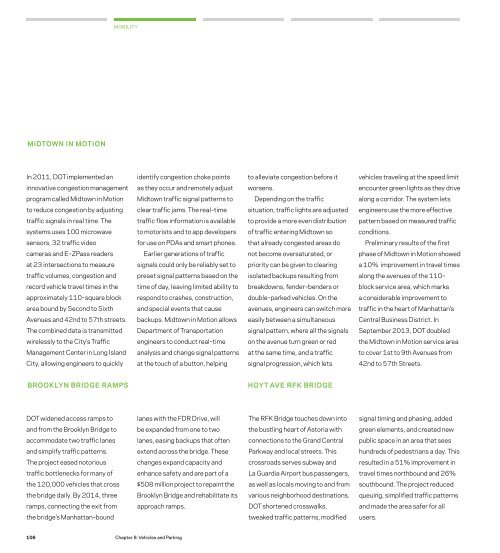
MOBILITYMIDTOWN IN MOTIONIn 2011, DOT implemented anidentify congestion choke pointsto alleviate congestion before itvehicles traveling at the speed limitinnovative congestion managementas they occur and remotely adjustworsens.encounter green lights as they driveprogram called Midtown in MotionMidtown traffic signal patterns toDepending on the trafficalong a corridor. The system letsto reduce congestion by adjustingclear traffic jams. The real–timesituation, traffic lights are adjustedengineers use the more effectivetraffic signals in real time. Thetraffic flow information is availableto provide a more even distributionpattern based on measured trafficsystems uses 100 microwaveto motorists and to app developersof traffic entering Midtown soconditions.sensors, 32 traffic videofor use on PDAs and smart phones.that already congested areas doPreliminary results of the firstcameras and E–ZPass readersEarlier generations of trafficnot become oversaturated, orphase of Midtown in Motion showedat 23 intersections to measuresignals could only be reliably set topriority can be given to clearinga 10% improvement in travel timestraffic volumes, congestion andpreset signal patterns based on theisolated backups resulting fromalong the avenues of the 110–record vehicle travel times in thetime of day, leaving limited ability tobreakdowns, fender–benders orblock service area, which marksapproximately 110–square blockrespond to crashes, construction,double–parked vehicles. On thea considerable improvement toarea bound by Second to Sixthand special events that causeavenues, engineers can switch moretraffic in the heart of Manhattan’sAvenues and 42nd to 57th <strong>streets</strong>.backups. Midtown in Motion allowseasily between a simultaneousCentral Business District. InThe combined data is transmittedDepartment of Transportationsignal pattern, where all the signalsSeptember <strong>2013</strong>, DOT doubledwirelessly to the City’s Trafficengineers to conduct real–timeon the avenue turn green or redthe Midtown in Motion service areaManagement Center in Long Islandanalysis and change signal patternsat the same time, and a trafficto cover 1st to 9th Avenues fromCity, allowing engineers to quicklyat the touch of a button, helpingsignal progression, which lets42nd to 57th Streets.BROOKLYN BRIDGE RAMPSHOYT AVE RFK BRIDGEDOT widened access ramps tolanes with the FDR Drive, willThe RFK Bridge touches down intosignal timing and phasing, addedand from the Brooklyn Bridge tobe expanded from one to twothe bustling heart of Astoria withgreen elements, and created newaccommodate two traffic laneslanes, easing backups that oftenconnections to the Grand Centralpublic space in an area that seesand simplify traffic patterns.extend across the bridge. TheseParkway and local <strong>streets</strong>. Thishundreds of pedestrians a day. ThisThe project eased notoriouschanges expand capacity andcrossroads serves subway andresulted in a 51% improvement intraffic bottlenecks for many ofenhance safety and are part of aLa Guardia Airport bus passengers,travel times northbound and 26%the 120,000 vehicles that cross$508 million project to repaint theas well as locals moving to and fromsouthbound. The project reducedthe bridge daily. By 2014, threeBrooklyn Bridge and rehabilitate itsvarious neighborhood destinations.queuing, simplified traffic patternsramps, connecting the exit fromapproach ramps.DOT shortened crosswalks,and made the area safer for allthe bridge’s Manhattan–boundtweaked traffic patterns, modifiedusers.106Chapter 8: Vehicles and Parking


