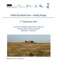
Conference program and abstracts - Coastal-Change.Org
Conference program and abstracts - Coastal-Change.Org
Conference program and abstracts - Coastal-Change.Org

You also want an ePaper? Increase the reach of your titles
YUMPU automatically turns print PDFs into web optimized ePapers that Google loves.
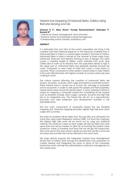
Hazard Line Mapping Of Mahadi Delta, Odisha Using<br />
Remote Sensing <strong>and</strong> Gis<br />
Sukanya R V 1 , Mary Divya 2 , Purvaja Ramach<strong>and</strong>ran 2 , Natarajan T 2 ,<br />
Ramesh R 2*<br />
1<br />
Institute for Ocean Management, Anna University<br />
2<br />
National Centre for Sustainable <strong>Coastal</strong> Management<br />
*<br />
Corresponding author; rramesh_au@yahoo.com<br />
ABSTRACT<br />
It is estimated that one third of the world’s population are living in the<br />
coastline <strong>and</strong> their livelihood depends on the resources available from it.<br />
Mahanadi Delta in India is a coastal region located in the state of Odisha.<br />
Mahanadi Delta in India is formed by the network of three major rivers,<br />
Mahanadi, Brahmani <strong>and</strong> Baitarini draining to Bay of Bengal. The delta<br />
covers a coastline length of 200km, which stretches from south near<br />
Chilika lake to north up to Dhamra river. The population density is high in<br />
the upper part of Mahanadi Delta <strong>and</strong> gradually declines towards the<br />
coast. Compared to west coast of India east coast is more prone to<br />
cyclones. When compared to other eastern coastal states in India Odisha<br />
is the worst affected state with highest number of cyclonic storms per year<br />
crossing its coast.<br />
The various hazards affecting the coastline of Mahanadi Delta are<br />
erosion, accretion, cyclones, storm surge <strong>and</strong> extreme events like tsunami.<br />
These hazards lead to severe loss of human life, damage to properties<br />
<strong>and</strong> to ecosystem. In order to safe guard the people <strong>and</strong> their properties,<br />
hazard prone areas should be demarcated. A newly adopted method is<br />
based on mapping a composite hazard line considering all the hazards<br />
such as shoreline change, storm surges, cyclones, tsunamis <strong>and</strong> high tide<br />
line in an integrated way. This hazard line will act as a precautionary<br />
boundary <strong>and</strong> assist protection <strong>and</strong> development activities in the<br />
earmarked zone.<br />
The two main components of composite hazard line are shoreline<br />
mapping <strong>and</strong> flood line mapping (includes: highest high tide level, storm<br />
surges <strong>and</strong> cyclones).<br />
The data for shoreline will be taken from the past 50yr <strong>and</strong> will predict for<br />
future 50yr using Linear Regression Method (LRR). For flood line mapping,<br />
the Highest High Tide Level will be found out by using any statistical<br />
method. The maximum values of storm surges will also be taken from past<br />
years data <strong>and</strong> will be marked on DEM. By connecting the positive value<br />
(maximum value) of shoreline <strong>and</strong> flood line we will get the hazard line.<br />
Then l<strong>and</strong> use for that area will be carried out <strong>and</strong> that will tell us what are<br />
the areas <strong>and</strong> activities that will be affected in the near future.<br />
This study directly supports the Integrated <strong>Coastal</strong> Zone Management<br />
(ICZM) Plan of Odisha state through the identification <strong>and</strong> assessment of<br />
coastal hazards <strong>and</strong> integrating the same to arrive at the composite<br />
hazard line which will help the administrators in effective management of<br />
the coastal zone.<br />
The Fourth IGCP 588: PREPARING FOR COASTAL CHANGE 11