(ceres) validation plan monthly regional toa and surface ... - NASA
(ceres) validation plan monthly regional toa and surface ... - NASA
(ceres) validation plan monthly regional toa and surface ... - NASA
You also want an ePaper? Increase the reach of your titles
YUMPU automatically turns print PDFs into web optimized ePapers that Google loves.
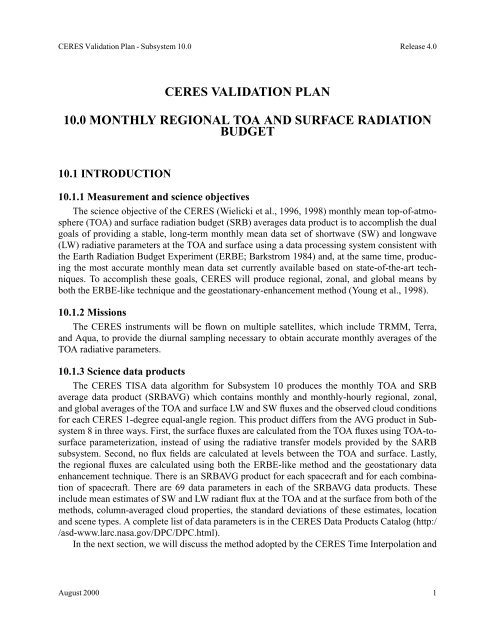
CERES Validation Plan - Subsystem 10.0 Release 4.0<br />
CERES VALIDATION PLAN<br />
10.0 MONTHLY REGIONAL TOA AND SURFACE RADIATION<br />
BUDGET<br />
10.1 INTRODUCTION<br />
10.1.1 Measurement <strong>and</strong> science objectives<br />
The science objective of the CERES (Wielicki et al., 1996, 1998) <strong>monthly</strong> mean top-of-atmosphere<br />
(TOA) <strong>and</strong> <strong>surface</strong> radiation budget (SRB) averages data product is to accomplish the dual<br />
goals of providing a stable, long-term <strong>monthly</strong> mean data set of shortwave (SW) <strong>and</strong> longwave<br />
(LW) radiative parameters at the TOA <strong>and</strong> <strong>surface</strong> using a data processing system consistent with<br />
the Earth Radiation Budget Experiment (ERBE; Barkstrom 1984) <strong>and</strong>, at the same time, producing<br />
the most accurate <strong>monthly</strong> mean data set currently available based on state-of-the-art techniques.<br />
To accomplish these goals, CERES will produce <strong>regional</strong>, zonal, <strong>and</strong> global means by<br />
both the ERBE-like technique <strong>and</strong> the geostationary-enhancement method (Young et al., 1998).<br />
10.1.2 Missions<br />
The CERES instruments will be flown on multiple satellites, which include TRMM, Terra,<br />
<strong>and</strong> Aqua, to provide the diurnal sampling necessary to obtain accurate <strong>monthly</strong> averages of the<br />
TOA radiative parameters.<br />
10.1.3 Science data products<br />
The CERES TISA data algorithm for Subsystem 10 produces the <strong>monthly</strong> TOA <strong>and</strong> SRB<br />
average data product (SRBAVG) which contains <strong>monthly</strong> <strong>and</strong> <strong>monthly</strong>-hourly <strong>regional</strong>, zonal,<br />
<strong>and</strong> global averages of the TOA <strong>and</strong> <strong>surface</strong> LW <strong>and</strong> SW fluxes <strong>and</strong> the observed cloud conditions<br />
for each CERES 1-degree equal-angle region. This product differs from the AVG product in Subsystem<br />
8 in three ways. First, the <strong>surface</strong> fluxes are calculated from the TOA fluxes using TOA-to<strong>surface</strong><br />
parameterization, instead of using the radiative transfer models provided by the SARB<br />
subsystem. Second, no flux fields are calculated at levels between the TOA <strong>and</strong> <strong>surface</strong>. Lastly,<br />
the <strong>regional</strong> fluxes are calculated using both the ERBE-like method <strong>and</strong> the geostationary data<br />
enhancement technique. There is an SRBAVG product for each spacecraft <strong>and</strong> for each combination<br />
of spacecraft. There are 69 data parameters in each of the SRBAVG data products. These<br />
include mean estimates of SW <strong>and</strong> LW radiant flux at the TOA <strong>and</strong> at the <strong>surface</strong> from both of the<br />
methods, column-averaged cloud properties, the st<strong>and</strong>ard deviations of these estimates, location<br />
<strong>and</strong> scene types. A complete list of data parameters is in the CERES Data Products Catalog (http:/<br />
/asd-www.larc.nasa.gov/DPC/DPC.html).<br />
In the next section, we will discuss the method adopted by the CERES Time Interpolation <strong>and</strong><br />
August 2000 1


