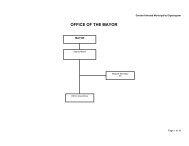
Final Adopted IDP - KZN Development Planning
Final Adopted IDP - KZN Development Planning
Final Adopted IDP - KZN Development Planning

Create successful ePaper yourself
Turn your PDF publications into a flip-book with our unique Google optimized e-Paper software.
To provide a means of enforcement<br />
To ensure the reservation of land for longer-term uses<br />
A process to develop a land use management scheme (LUMS) for the Ulundi Municipality<br />
commenced late in the 2008 calendar year. A town planning scheme was developed<br />
together with a set of maps showing proposed land use. Consultation with Government<br />
Departments took place in August 2010 without any comment being received; however,<br />
during the 2011 / 2012 <strong>IDP</strong> consultation process some provincial departments indicated<br />
their desire to make comment in this regard. Traditional Authorities were consulted as<br />
one of the key stakeholders since the LUMS study includes traditional land but they<br />
objected due to land ownership issues. An approach was made to the KwaZulu-Natal<br />
Department of Co-operative Governance and Traditional Affairs (COGTA) to intervene<br />
in the matter; the outcome of the intervention is still awaited.<br />
Given the impasse with regard to the rural areas the Council of the Municipality resolved<br />
to limit the extent of the LUMS to the urban areas only. As a consequence, the Council<br />
of the Municipality adopted a Town <strong>Planning</strong> Scheme for the town of Ulundi only in June<br />
2011. Details of this Town <strong>Planning</strong> Scheme, together with the appropriate maps, have<br />
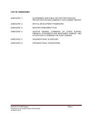
been included as Annexure B attached to this <strong>IDP</strong> review document.<br />
URBAN AND RURAL NODES<br />
The town of Ulundi is situated on the R66 which connects Ulundi directly to Nongoma in<br />
the North and Melmoth to the south, then leading to the N2 which connects the town to<br />
the coastal cities. The town of Ulundi is the only formal urbanised nodes and houses all<br />
formal (first Economy) economic activities within the Municipality. The areas<br />
surrounding the town of Ulundi are characterised as large, densely populated tribal<br />
areas with an informal settlement pattern. These areas are completely reliant on Ulundi<br />
for employment, goods and services. Due to the high population density, concentration<br />
and service demands, large sections of these tribal areas can be classified as emerging<br />
urban settlements.<br />
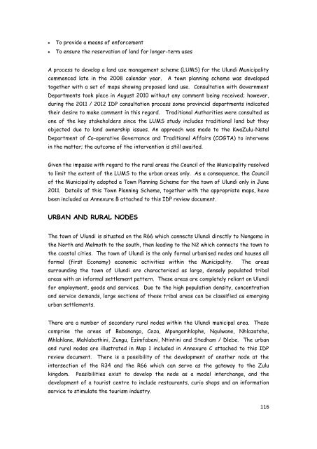
There are a number of secondary rural nodes within the Ulundi municipal area. These<br />
comprise the areas of Babanango, Ceza, Mpungamhlophe, Nqulwane, Nhlazatshe,<br />
Mhlahlane, Mahlabathini, Zungu, Ezimfabeni, Ntintini and Stedham / Dlebe. The urban<br />
and rural nodes are illustrated in Map 1 included in Annexure C attached to this <strong>IDP</strong><br />
review document. There is a possibility of the development of another node at the<br />
intersection of the R34 and the R66 which can serve as the gateway to the Zulu<br />
kingdom. Possibilities exist to develop the node as a modal interchange, and the<br />
development of a tourist centre to include restaurants, curio shops and an information<br />
service to stimulate the tourism industry.<br />
116