Minnesota Water Resources Conference - Water Resources Center ...
Minnesota Water Resources Conference - Water Resources Center ...
Minnesota Water Resources Conference - Water Resources Center ...
Create successful ePaper yourself
Turn your PDF publications into a flip-book with our unique Google optimized e-Paper software.
Plenary Session 8:10–9:30<br />
The SE <strong>Minnesota</strong> Floods of August 2007: In Historical and Future Context<br />
Mark Seeley, University of <strong>Minnesota</strong> Extension Climatologist, University of <strong>Minnesota</strong>, mseeley@umn.edu<br />
BOOK OF ABSTRACTS<br />
Wednesday, Tuesday, October 24 28 23<br />
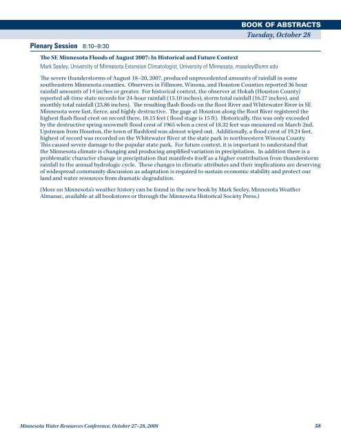
The severe thunderstorms of August 18–20, 2007, produced unprecedented amounts of rainfall in some<br />
southeastern <strong>Minnesota</strong> counties. Observers in Fillmore, Winona, and Houston Counties reported 36 hour<br />
rainfall amounts of 14 inches or greater. For historical context, the observer at Hokah (Houston County)<br />
reported all-time state records for 24-hour rainfall (15.10 inches), storm total rainfall (16.27 inches), and<br />
monthly total rainfall (23.86 inches). The resulting flash floods on the Root River and Whitewater River in SE<br />
<strong>Minnesota</strong> were fast, fierce, and highly destructive. The gage at Houston along the Root River registered the<br />
highest flash flood crest on record there, 18.15 feet ( flood stage is 15 ft). Historically, this was only exceeded<br />
by the destructive spring snowmelt flood crest of 1965 when a crest of 18.32 feet was measured on March 2nd.<br />
Upstream from Houston, the town of Rushford was almost wiped out. Additionally, a flood crest of 19.24 feet,<br />
highest of record was recorded on the Whitewater River at the state park in northwestern Winona County.<br />
This caused severe damage to the popular state park. For future context, it is important to understand that<br />
the <strong>Minnesota</strong> climate is changing and producing amplified variation in precipitation. In addition there is a<br />
problematic character change in precipitation that manifests itself as a higher contribution from thunderstorm<br />
rainfall to the annual hydrologic cycle. These changes in climatic attributes and their implications are deserving<br />
of widespread community discussion as adaptation is required to sustain economic stability and protect our<br />
land and water resources from dramatic degradation.<br />
(More on <strong>Minnesota</strong>’s weather history can be found in the new book by Mark Seeley, <strong>Minnesota</strong> Weather<br />
Almanac, available at all bookstores or through the <strong>Minnesota</strong> Historical Society Press.)<br />
<strong>Minnesota</strong> <strong>Water</strong> <strong>Resources</strong> <strong>Conference</strong>, October 27–28, 2008 58


