Untitled
Untitled
Untitled

Create successful ePaper yourself
Turn your PDF publications into a flip-book with our unique Google optimized e-Paper software.
› Mae 25<br />
› TOMOGRAPHIC SEISMIC EXPLORATION<br />
This survey method is used to identify<br />
physical-geometrical anomalies of the<br />
sub-soil with a definitely higher resolution<br />
compared to the other seismic<br />
exploring methods, giving the opportunity<br />
to create an image of the subsoil<br />
containing all the anomalies, even<br />
the most complex ones, which cannot<br />
be resolved with other methods.<br />
In particular, the tomographic method<br />
allows to reconstruct the geometric<br />
distribution of the elements that<br />
constitute a specific section, starting<br />
from the analysis of the behaviour of<br />
the radiations that cross it.<br />
› DOWN-HOLE SEISMIC EXPLORING<br />
This type of survey is performed for<br />
the mechanical characterisations of<br />
grounds crossed during the probing<br />
phase. The technique consists<br />
in the measurement of the travelling<br />
times of the elastic waves between<br />
the seismic source on the<br />
surface and the geophones located<br />
inside the probing hole, properly conditioned<br />
with PVC pipe or geo-technical<br />
pipe. The seismic exploring activity<br />
in the down-hole takes place by<br />
placing one or more triplets of sensors<br />
(horizontal and vertical) inside<br />
one of the probing holes and at various<br />
depths, aimed at receiving the<br />
seismic signals generated through<br />
ram on anchored plate. Energy will<br />
be supplied in phase inversion in order<br />
to polarise phases S on a horizontal<br />
plane H, according to an orientation<br />
of 180°. Through seismic speeds<br />
Vp and Vs, it is possible to obtain information,<br />
such as elastic modules<br />
and geo-seismic parameters. Vs 30<br />
can be measured on probing holes<br />
up to 30 metres of depth (O.P.C.M<br />
3274/2003).<br />
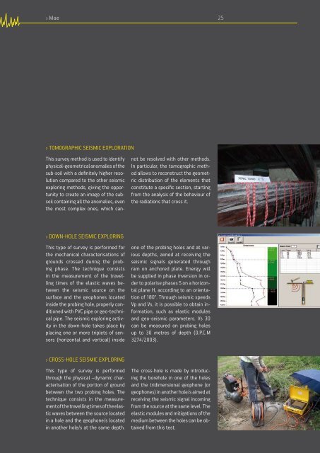
› CROSS-HOLE SEISMIC EXPLORING<br />
This type of survey is performed<br />
through the physical –dynamic characterisation<br />
of the portion of ground<br />
between the two probing holes. The<br />
technique consists in the measurement<br />
of the travelling times of the elastic<br />
waves between the source located<br />
in a hole and the geophone/s located<br />
in another hole/s at the same depth.<br />
The cross-hole is made by introducing<br />
the borehole in one of the holes<br />
and the tridimensional geophone (or<br />
geophones) in another hole/s aimed at<br />
receiving the seismic signal incoming<br />
from the source at the same level. The<br />
elastic modules and mitigations of the<br />
medium between the holes can be obtained<br />
from this test.