Download - Wrexham County Borough Council
Download - Wrexham County Borough Council
Download - Wrexham County Borough Council

Create successful ePaper yourself
Turn your PDF publications into a flip-book with our unique Google optimized e-Paper software.
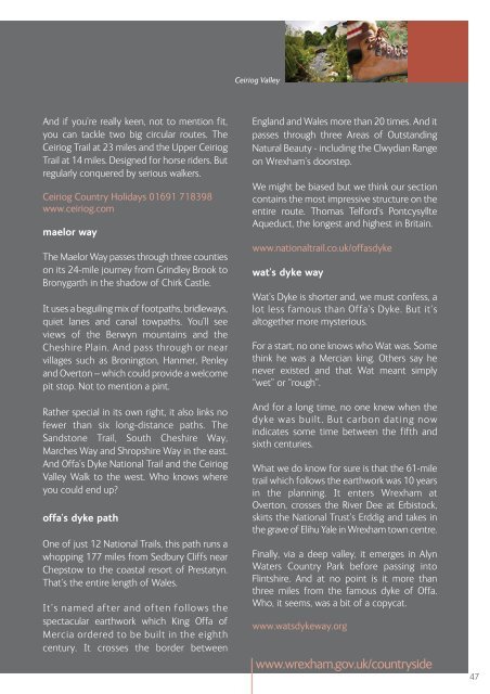
Ceiriog Valley<br />
And if you’re really keen, not to mention fit,<br />
you can tackle two big circular routes. The<br />
Ceiriog Trail at 23 miles and the Upper Ceiriog<br />
Trail at 14 miles. Designed for horse riders. But<br />
regularly conquered by serious walkers.<br />
Ceiriog Country Holidays 01691 718398<br />
www.ceiriog.com<br />
maelor way<br />
The Maelor Way passes through three counties<br />
on its 24-mile journey from Grindley Brook to<br />
Bronygarth in the shadow of Chirk Castle.<br />
It uses a beguiling mix of footpaths, bridleways,<br />
quiet lanes and canal towpaths. You’ll see<br />
views of the Berwyn mountains and the<br />
Cheshire Plain. And pass through or near<br />
villages such as Bronington, Hanmer, Penley<br />
and Overton – which could provide a welcome<br />
pit stop. Not to mention a pint.<br />
Rather special in its own right, it also links no<br />
fewer than six long-distance paths. The<br />
Sandstone Trail, South Cheshire Way,<br />
Marches Way and Shropshire Way in the east.<br />
And Offa’s Dyke National Trail and the Ceiriog<br />
Valley Walk to the west. Who knows where<br />
you could end up?<br />
offa’s dyke path<br />
One of just 12 National Trails, this path runs a<br />
whopping 177 miles from Sedbury Cliffs near<br />
Chepstow to the coastal resort of Prestatyn.<br />
That’s the entire length of Wales.<br />
It’s named after and often follows the<br />
spectacular earthwork which King Offa of<br />
Mercia ordered to be built in the eighth<br />
century. It crosses the border between<br />
England and Wales more than 20 times. And it<br />
passes through three Areas of Outstanding<br />
Natural Beauty - including the Clwydian Range<br />
on <strong>Wrexham</strong>’s doorstep.<br />
We might be biased but we think our section<br />
contains the most impressive structure on the<br />
entire route. Thomas Telford’s Pontcysyllte<br />
Aqueduct, the longest and highest in Britain.<br />
www.nationaltrail.co.uk/offasdyke<br />
wat’s dyke way<br />
Wat’s Dyke is shorter and, we must confess, a<br />
lot less famous than Offa’s Dyke. But it’s<br />
altogether more mysterious.<br />
For a start, no one knows who Wat was. Some<br />
think he was a Mercian king. Others say he<br />
never existed and that Wat meant simply<br />
“wet” or “rough”.<br />
And for a long time, no one knew when the<br />
dyke was built. But carbon dating now<br />
indicates some time between the fifth and<br />
sixth centuries.<br />
What we do know for sure is that the 61-mile<br />
trail which follows the earthwork was 10 years<br />
in the planning. It enters <strong>Wrexham</strong> at<br />
Overton, crosses the River Dee at Erbistock,<br />
skirts the National Trust’s Erddig and takes in<br />
the grave of Elihu Yale in <strong>Wrexham</strong> town centre.<br />
Finally, via a deep valley, it emerges in Alyn<br />
Waters Country Park before passing into<br />
Flintshire. And at no point is it more than<br />
three miles from the famous dyke of Offa.<br />
Who, it seems, was a bit of a copycat.<br />
www.watsdykeway.org<br />
www.wrexham.gov.uk/countryside<br />
47