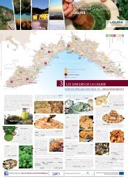
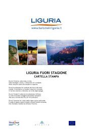
A thousand paths, four steps, one destination
A thousand paths, four steps, one destination
A thousand paths, four steps, one destination

Create successful ePaper yourself
Turn your PDF publications into a flip-book with our unique Google optimized e-Paper software.
antoLa regIonaL naturaL ParK<br />
area: 10,669 hectares among which: 4837 hectares of “Park area” and 5,832 hectares of “neighbouring area”<br />
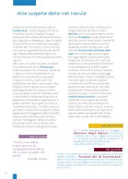
Description of the territory<br />
The territory represents an Apennine z<strong>one</strong> of great landscape, naturalistic, historical and cultural value. The<br />
vicinity to Genoa and the Ligurian sea, but also to the cities of Piedmont, Lombardy and Emilia constitute a<br />
point of strength of the park. The Antola Valleys, which include the territories of 12 municipalities between<br />
the Alta Valle Scrivia and the Alta Val Trebbia, constitute an ideal environment to practise naturalistic<br />
excursions thanks to the wide network of itineraries (over 300 km of trails), some of which also suited to<br />
mountain biking, free climbing and mountain climbing (in the territory of the Rocche del Reopasso), winter<br />
walks with cross-country skis and snowshoes along the entire Antola’s ridge, and even horse trekking. The<br />
territory of the Park also allows discovering and enjoying the area from a cultural, gastronomic and historical<br />
point of view with a series of villages, museums and points of interest that are unique within the Genoese<br />
hinterland.<br />
How to get there<br />
By car: by taking the S.S. 45, the S.P. 226 Valle Scrivia and other minor Provincial Roads.<br />
By bus: ATP line “Genoa-Torriglia-Propata-Rondanina-Montebruno” and “Genoa-Montoggio-Casella-<br />
Savign<strong>one</strong>-Crocefieschi-Vobbia”.<br />
By train: Genoa-Milan and Genoa-Turin lines (stations of Busalla, Ronco Scrivia and Isola del Cant<strong>one</strong>)<br />
Narrow gauge line Genoa-Casella (“Casella train”).<br />
Mount Antola Peak<br />
Municipalities involved: Busalla, Crocefieschi, Fascia, Gorreto, Montebruno, Propata, Ronco Scrivia, Rondanina,<br />
Savign<strong>one</strong>, Torriglia, Valbrevenna, Vobbia<br />
Managed by: Ente Parco dell’Antola, Head Office Villa Borzino, Via XXV Aprile 17, Busalla (GE), La Torriglietta<br />
Scientific Office and Visitor Centre, Via N.S. della Provvidenza 3, Torriglia (GE) -Tel. +39 010 944175<br />
Fax. +39 010 9453007 - email: info@parcoantola.it<br />
Information points: Villa Borzino - Busalla (Park location) • La Torriglietta - Torriglia, Experience Centre of the<br />
Park, Tourist Office (IAT) and Territorial Service Centre for the enjoyment of the Alta Via dei Monti Liguri and of<br />
the connecting itineraries • Alta Valle Scrivia Tourist Office (IAT)- Casella (seasonal)<br />
Information point - Gorreto (seasonal)<br />
13