ARCS factsheet (PDF). - Thomas Gunn
ARCS factsheet (PDF). - Thomas Gunn
ARCS factsheet (PDF). - Thomas Gunn

Create successful ePaper yourself
Turn your PDF publications into a flip-book with our unique Google optimized e-Paper software.
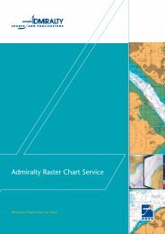
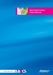
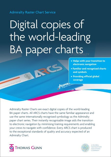
Admiralty Raster Chart Service<br />
Digital copies of<br />
the world-leading<br />
BA paper charts<br />
• Helps with your transition to<br />
electronic navigation<br />
• Familiar and recognised charts<br />
and symbols<br />
• Providing official global<br />
coverage<br />
Admiralty Raster Charts are exact digital copies of the world-leading<br />
BA paper charts. All <strong>ARCS</strong> charts have the same familiar appearance and<br />
use the same internationally recognised symbology as the Admiralty<br />
paper chart series. Their instantly recognisable image aids the transition<br />
to electronic navigation by minimising training requirements and enabling<br />
your crews to navigate with confidence. Every <strong>ARCS</strong> chart is produced<br />
to the exceptional standards of quality and accuracy expected of an<br />
Admiralty Chart.
Admiralty Raster Chart Service<br />
Digital copies of the world-leading BA paper charts<br />
Global coverage<br />
Over 3000 <strong>ARCS</strong> charts provide official, global coverage<br />
of the world’s commercial shipping routes, with extensive<br />
coverage of main ports and harbours at a wide range<br />
of scales.<br />
Maximum flexibility<br />
Every <strong>ARCS</strong> customer is automatically provided with a<br />
complete set of Base CD’s containing every chart in the<br />
service. Coverage is licensed on a chart by chart basis to<br />
give you maximum flexibility. You only access, and pay for,<br />
the charts you require. Instant access to additional charts<br />
can be quickly and easily obtained in emergency situations<br />
via phone, fax or e-mail.<br />
<strong>ARCS</strong> charts are also available in regional and world folios<br />
to give you greater coverage at substantial cost savings<br />
Latest chart updates applied in seconds<br />
<strong>ARCS</strong> comes complete with a comprehensive weekly<br />
update service for the duration of your subscription.<br />
The <strong>ARCS</strong> Update disks are issued weekly to match the<br />
publication of the latest Notices to Mariners and are<br />
applied electronically to the charts to keep <strong>ARCS</strong> charts<br />
fully up to date for safety critical information without delay.<br />
Updates are cumulative, so you need only use the latest<br />
update disk and include all New Editions and Replacement<br />
Charts and both Temporary and Preliminary Notices.<br />
This easy to follow <strong>ARCS</strong> update procedure ensures your<br />
vessel’s entire <strong>ARCS</strong> chart folio can be updated in just a<br />
few seconds.<br />
Safer navigation<br />
<strong>ARCS</strong> charts can be fully integrated with Global Positioning<br />
Systems (GPS). Vessel position, course and speed can be<br />
automatically plotted and updated as frequently as once<br />
a minute to give far greater positional accuracy than with<br />
traditional methods of navigation. User-defined overlays<br />
of danger areas, waypoints, notes, offset and check<br />
bearings can also be manually input and stored for all<br />
relevant charts.<br />
Improved situational awareness<br />
Radar targets can be superimposed over <strong>ARCS</strong> charts to<br />
show actual distance and direction to other vessels and<br />
obstructions, providing an instant overview of your current<br />
situation. When used in conjunction with radar to provide<br />
collision avoidance indicators and alarms, <strong>ARCS</strong> significantly<br />
improves safety of navigation, and is particularly important<br />
in busy or confined waters.<br />
Time saving<br />
Routes can be quickly and efficiently planned in advance<br />
and stored for future, repeat use. Passage plans can be<br />
easily adjusted at any time. Bearing and Distance between<br />
waypoints are automatically calculated. Planned routes are<br />
automatically applied across all chart scales to substantially<br />
reduce time spent at the planning stage.<br />
Traditional techniques<br />
<strong>ARCS</strong> also enables the use of traditional techniques such as<br />
dead reckoning (DR) to verify GPS signal or in the event of<br />
GPS unavailability.<br />
Large choice of Electronic Chart Systems<br />
Designed exclusively for commercial shipping, <strong>ARCS</strong> charts<br />
are fully compatible with a wide choice of Electronic Chart<br />
Systems (ECS) and Electronic Chart Display & Information<br />
Systems (ECDIS). This flexibility allows you to choose the<br />
system that meets your requirements and your budget.<br />
To use <strong>ARCS</strong> charts you will need the following:<br />
A Chart Display System (ECS, ECDIS or IBS), or PC computer<br />
hardware and Navigational software (supplied by one of<br />
many <strong>ARCS</strong> compatible software manufacturers).<br />
You can also add <strong>ARCS</strong> updates to your Voyager<br />
subscription. Ask about your 3 month free trial.<br />
To find out more about how you can benefit from<br />
<strong>Thomas</strong> <strong>Gunn</strong> Navigation Services, please contact your<br />
preferred <strong>Thomas</strong> <strong>Gunn</strong> Office.<br />
www.thomasgunn.com