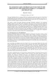
GEOMORPHOLOGY REPORT - CRC LEME
GEOMORPHOLOGY REPORT - CRC LEME
GEOMORPHOLOGY REPORT - CRC LEME

Create successful ePaper yourself
Turn your PDF publications into a flip-book with our unique Google optimized e-Paper software.
Site 22<br />
2 km east of Finnegans bridge along Dedmans drive<br />
Coordinates<br />
05771298E 6220569N 32 m<br />
Location description<br />
Oldest floodplain meander belt with low open woodland of black box with saltbush understorey and<br />
groundcover of ephemeral herbs and pigface. Microbiotic crust.<br />
Site description<br />
Oldest floodplain meander belt, moist at depth.<br />
Soil Profile<br />
Depth (cm) Munsell<br />
colour<br />
0-10 2.5Y 5/2 Sandy loam Sub-angular<br />
blocky<br />
Field Texture Structure Comments<br />
10-20 10YR 4/2 Clay loam Sub-angular<br />
blocky<br />
20-30 10YR 3/2 Clay loam Sub-angular<br />
blocky<br />
Cryptogamic crust on<br />
surface; fine roots<br />
present<br />
Fine roots present<br />
Fine roots present<br />
52