

The Determination of Minimum Flows for Sulphur Springs, Tampa
The Determination of Minimum Flows for Sulphur Springs, Tampa
The Determination of Minimum Flows for Sulphur Springs, Tampa

You also want an ePaper? Increase the reach of your titles
YUMPU automatically turns print PDFs into web optimized ePapers that Google loves.
DRAFT<br />
apparently declined over time. Studies per<strong>for</strong>med by the City <strong>of</strong> <strong>Tampa</strong> in 1958<br />
confirmed a connection between <strong>Sulphur</strong> <strong>Springs</strong> and Curiosity Sink and also Blue Sink,<br />
which are located approximately 2.5 miles (4 km) northwest <strong>of</strong> <strong>Sulphur</strong> <strong>Springs</strong>. Tracer<br />
dyes indicated flow rates in the range <strong>of</strong> 4,200 to 9,200 ft per day (1,280 to 2,800<br />
meters per day). Stewart and Mills (1984) visited the Blue Sink complex in 1963-64 and<br />
noted that the sinks were approximately 20 to 30 feet (6.1 to 9.1 m) deep with water<br />
visibly flowing at the bottom. However, by 1981 the sinks were only about 6 feet (1.8 m)<br />
deep and dry. <strong>The</strong> connection between <strong>Sulphur</strong> <strong>Springs</strong> and the Blue Sink complex had<br />
been lost due to the build up <strong>of</strong> trash and sediment, which effectively plugged the sinks.<br />
A dye test was conducted by the City <strong>of</strong> <strong>Tampa</strong> in 1987 to determine if the connection<br />
still remained between Blue Sink and <strong>Sulphur</strong> <strong>Springs</strong>. <strong>The</strong> dye never arrived at the<br />
spring indicating that the connection was sealed.<br />
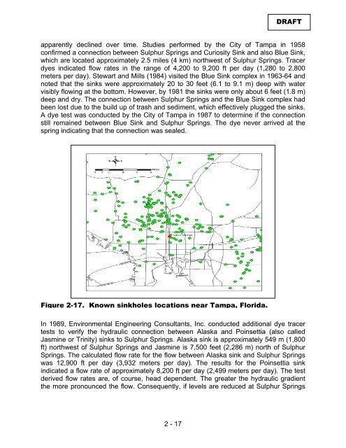
Figure 2-17. Known sinkholes locations near <strong>Tampa</strong>, Florida.<br />
In 1989, Environmental Engineering Consultants, Inc. conducted additional dye tracer<br />
tests to verify the hydraulic connection between Alaska and Poinsettia (also called<br />
Jasmine or Trinity) sinks to <strong>Sulphur</strong> <strong>Springs</strong>. Alaska sink is approximately 549 m (1,800<br />
ft) northwest <strong>of</strong> <strong>Sulphur</strong> <strong>Springs</strong> and Jasmine is 7,500 feet (2,286 m) north <strong>of</strong> <strong>Sulphur</strong><br />
<strong>Springs</strong>. <strong>The</strong> calculated flow rate <strong>for</strong> the flow between Alaska sink and <strong>Sulphur</strong> <strong>Springs</strong><br />
was 12,900 ft per day (3,932 meters per day). <strong>The</strong> results <strong>for</strong> the Poinsettia sink<br />
indicated a flow rate <strong>of</strong> approximately 8,200 ft per day (2,499 meters per day). <strong>The</strong> test<br />
derived flow rates are, <strong>of</strong> course, head dependent. <strong>The</strong> greater the hydraulic gradient<br />
the more pronounced the flow. Consequently, if levels are reduced at <strong>Sulphur</strong> <strong>Springs</strong><br />
2 - 17


