

boyle local area plan 2012 - 2018 - Roscommon County Council
boyle local area plan 2012 - 2018 - Roscommon County Council
boyle local area plan 2012 - 2018 - Roscommon County Council

You also want an ePaper? Increase the reach of your titles
YUMPU automatically turns print PDFs into web optimized ePapers that Google loves.
PART I: INTRODUCTION & CONTEXT Chapter 2: Historic Context, Settlement Policy & Vision<br />
CHAPTER 2:<br />
HISTORIC CONTEXT, SETTLEMENT POLICY & VISION FOR BOYLE<br />
2.1 LOCATION OF BOYLE<br />
Boyle (Mainistir na Búille) is located in North <strong>County</strong> <strong>Roscommon</strong>, 38km from<br />
<strong>Roscommon</strong> Town, 15km from Carrick-on-Shannon and 40km from Sligo (See Map<br />
1). The LAP <strong>area</strong> is in a strategic location and accessibility is a key advantage. Boyle<br />
has a modern primary road and rail network that connects it – east and west, north and<br />
south – to all the major cities and towns in Ireland. It is served by the N4 National<br />
Primary Route between Sligo and Dublin, and the N61 National Secondary Route to<br />
Athlone via <strong>Roscommon</strong> Town. Boyle is also on the main Dublin/Sligo rail line with<br />
six train services per day, and is within a two hour drive of five airports.<br />
Boyle Harbour forms part of the Shannon-Erne Waterway and is only a ten minute<br />
walk from Boyle Town. From Boyle Harbour it is possible to navigate to the sea at<br />
Limerick, to the sea at New Ross in <strong>County</strong> Wexford (via the Grand Canal and Barrow<br />
Navigation) or to Dublin along Grand Canal. For further information see: Inland<br />
Waterways Association of Ireland: www.iwai.ie and Waterways Ireland:<br />
www.waterwaysireland.org<br />
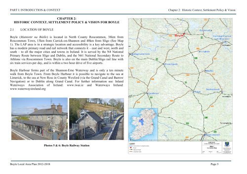
Photos 5 & 6: Boyle Railway Station<br />
Boyle Local Area Plan <strong>2012</strong>-<strong>2018</strong> Page 5


