

Landscape – Great Idea! X-LArch III - Department für Raum ...
Landscape – Great Idea! X-LArch III - Department für Raum ...
Landscape – Great Idea! X-LArch III - Department für Raum ...

You also want an ePaper? Increase the reach of your titles
YUMPU automatically turns print PDFs into web optimized ePapers that Google loves.
19<br />
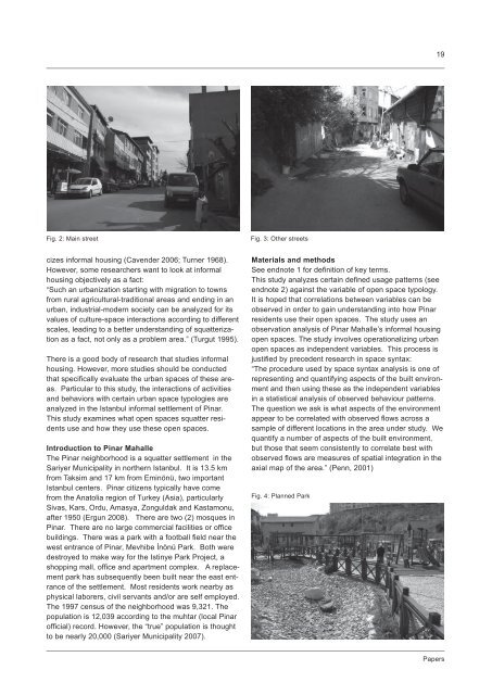
Fig. 2: Main street<br />
Fig. 3: Other streets<br />
cizes informal housing (Cavender 2006; Turner 1968).<br />
However, some researchers want to look at informal<br />
housing objectively as a fact:<br />
“Such an urbanization starting with migration to towns<br />
from rural agricultural-traditional areas and ending in an<br />
urban, industrial-modern society can be analyzed for its<br />
values of culture-space interactions according to different<br />
scales, leading to a better understanding of squatterization<br />
as a fact, not only as a problem area.” (Turgut 1995).<br />
There is a good body of research that studies informal<br />
housing. However, more studies should be conducted<br />
that specifically evaluate the urban spaces of these areas.<br />
Particular to this study, the interactions of activities<br />
and behaviors with certain urban space typologies are<br />
analyzed in the Istanbul informal settlement of Pinar.<br />
This study examines what open spaces squatter residents<br />
use and how they use these open spaces.<br />
Introduction to Pinar Mahalle<br />
The Pinar neighborhood is a squatter settlement in the<br />
Sariyer Municipality in northern Istanbul. It is 13.5 km<br />
from Taksim and 17 km from Eminönü, two important<br />
Istanbul centers. Pinar citizens typically have come<br />
from the Anatolia region of Turkey (Asia), particularly<br />
Sivas, Kars, Ordu, Amasya, Zonguldak and Kastamonu,<br />
after 1950 (Ergun 2008). There are two (2) mosques in<br />
Pinar. There are no large commercial facilities or office<br />
buildings. There was a park with a football field near the<br />
west entrance of Pinar, Mevhibe İnönü Park. Both were<br />
destroyed to make way for the Istinye Park Project, a<br />
shopping mall, office and apartment complex. A replacement<br />
park has subsequently been built near the east entrance<br />
of the settlement. Most residents work nearby as<br />
physical laborers, civil servants and/or are self employed.<br />
The 1997 census of the neighborhood was 9,321. The<br />
population is 12,039 according to the muhtar (local Pinar<br />
official) record. However, the “true” population is thought<br />
to be nearly 20,000 (Sariyer Municipality 2007).<br />
Materials and methods<br />
See endnote 1 for definition of key terms.<br />
This study analyzes certain defined usage patterns (see<br />
endnote 2) against the variable of open space typology.<br />
It is hoped that correlations between variables can be<br />
observed in order to gain understanding into how Pinar<br />
residents use their open spaces. The study uses an<br />
observation analysis of Pinar Mahalle’s informal housing<br />
open spaces. The study involves operationalizing urban<br />
open spaces as independent variables. This process is<br />
justified by precedent research in space syntax:<br />
“The procedure used by space syntax analysis is one of<br />
representing and quantifying aspects of the built environment<br />
and then using these as the independent variables<br />
in a statistical analysis of observed behaviour patterns.<br />
The question we ask is what aspects of the environment<br />
appear to be correlated with observed flows across a<br />
sample of different locations in the area under study. We<br />
quantify a number of aspects of the built environment,<br />
but those that seem consistently to correlate best with<br />
observed flows are measures of spatial integration in the<br />
axial map of the area.” (Penn, 2001)<br />
Fig. 4: Planned Park<br />
Papers


