Petroleum Systems of Deep-Water Basins - Gulf Coast Section SEPM
Petroleum Systems of Deep-Water Basins - Gulf Coast Section SEPM
Petroleum Systems of Deep-Water Basins - Gulf Coast Section SEPM

You also want an ePaper? Increase the reach of your titles
YUMPU automatically turns print PDFs into web optimized ePapers that Google loves.
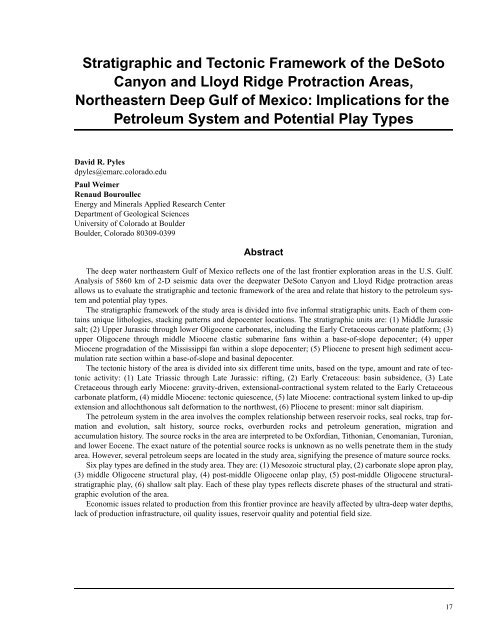
Stratigraphic and Tectonic Framework <strong>of</strong> the DeSoto<br />
Canyon and Lloyd Ridge Protraction Areas,<br />
Northeastern <strong>Deep</strong> <strong>Gulf</strong> <strong>of</strong> Mexico: Implications for the<br />
<strong>Petroleum</strong> System and Potential Play Types<br />
David R. Pyles<br />
dpyles@emarc.colorado.edu<br />
Paul Weimer<br />
Renaud Bouroullec<br />
Energy and Minerals Applied Research Center<br />
Department <strong>of</strong> Geological Sciences<br />
University <strong>of</strong> Colorado at Boulder<br />
Boulder, Colorado 80309-0399<br />
Abstract<br />
The deep water northeastern <strong>Gulf</strong> <strong>of</strong> Mexico reflects one <strong>of</strong> the last frontier exploration areas in the U.S. <strong>Gulf</strong>.<br />
Analysis <strong>of</strong> 5860 km <strong>of</strong> 2-D seismic data over the deepwater DeSoto Canyon and Lloyd Ridge protraction areas<br />
allows us to evaluate the stratigraphic and tectonic framework <strong>of</strong> the area and relate that history to the petroleum system<br />
and potential play types.<br />
The stratigraphic framework <strong>of</strong> the study area is divided into five informal stratigraphic units. Each <strong>of</strong> them contains<br />
unique lithologies, stacking patterns and depocenter locations. The stratigraphic units are: (1) Middle Jurassic<br />
salt; (2) Upper Jurassic through lower Oligocene carbonates, including the Early Cretaceous carbonate platform; (3)<br />
upper Oligocene through middle Miocene clastic submarine fans within a base-<strong>of</strong>-slope depocenter; (4) upper<br />
Miocene progradation <strong>of</strong> the Mississippi fan within a slope depocenter; (5) Pliocene to present high sediment accumulation<br />
rate section within a base-<strong>of</strong>-slope and basinal depocenter.<br />
The tectonic history <strong>of</strong> the area is divided into six different time units, based on the type, amount and rate <strong>of</strong> tectonic<br />
activity: (1) Late Triassic through Late Jurassic: rifting, (2) Early Cretaceous: basin subsidence, (3) Late<br />
Cretaceous through early Miocene: gravity-driven, extensional-contractional system related to the Early Cretaceous<br />
carbonate platform, (4) middle Miocene: tectonic quiescence, (5) late Miocene: contractional system linked to up-dip<br />
extension and allochthonous salt deformation to the northwest, (6) Pliocene to present: minor salt diapirism.<br />
The petroleum system in the area involves the complex relationship between reservoir rocks, seal rocks, trap formation<br />
and evolution, salt history, source rocks, overburden rocks and petroleum generation, migration and<br />
accumulation history. The source rocks in the area are interpreted to be Oxfordian, Tithonian, Cenomanian, Turonian,<br />
and lower Eocene. The exact nature <strong>of</strong> the potential source rocks is unknown as no wells penetrate them in the study<br />
area. However, several petroleum seeps are located in the study area, signifying the presence <strong>of</strong> mature source rocks.<br />
Six play types are defined in the study area. They are: (1) Mesozoic structural play, (2) carbonate slope apron play,<br />
(3) middle Oligocene structural play, (4) post-middle Oligocene onlap play, (5) post-middle Oligocene structuralstratigraphic<br />
play, (6) shallow salt play. Each <strong>of</strong> these play types reflects discrete phases <strong>of</strong> the structural and stratigraphic<br />
evolution <strong>of</strong> the area.<br />
Economic issues related to production from this frontier province are heavily affected by ultra-deep water depths,<br />
lack <strong>of</strong> production infrastructure, oil quality issues, reservoir quality and potential field size.<br />
17