
Create successful ePaper yourself
Turn your PDF publications into a flip-book with our unique Google optimized e-Paper software.
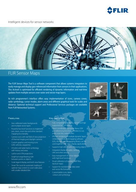
Intelligent devices for sensor networks<br />
<strong>FLIR</strong> <strong>Sensor</strong> <strong>Maps</strong><br />
The <strong>FLIR</strong> <strong>Sensor</strong> <strong>Maps</strong> Tool is a software component that allows systems integrators to<br />
easily manage and display geo-referenced information from sensors in their applications.<br />
This ActiveX is optimized for efficient rendering of dynamic information and real-time<br />
updates from multiple sensors over raster and vector map layers.<br />
Its rich programmer’s interface offers easy implementation of icons, camera cones,<br />
radar symbology, cursor modes, alarm areas and different graphical tools for scales and<br />
distance. Optional technical support and Professional Services packages are available<br />
from <strong>FLIR</strong> Networked <strong>Systems</strong>.<br />
Features<br />
• Geo-calibrated raster backgrounds<br />
and multiple vector layers<br />
• Powerful low level functions to implement<br />
pan, zoom, zoom box and other standard<br />
mapping functionality<br />
• Camera icons with real field of view projection<br />
of thermal imaging and daylight cameras<br />
• Custom graphics and moving icons<br />
(UAV, vehicles, waypoints)<br />
• I/O plots and radar tracks symbology<br />
with history and areas<br />
• Lat/lon and UTM projections<br />
• Graphical range/bearing ruler<br />
between points or objects<br />
• Scale legend display and bird’s view features<br />
• Smart Tile: tools for automatic loading of<br />
optimal map content to cover wide areas<br />
with smaller detailed tiles<br />
www.flir.com<br />
Key benefits<br />
• Fully compatible with Nexus, owned and<br />
supported by <strong>FLIR</strong> <strong>Systems</strong><br />
• Direct coordinates capture for Nexus SDK<br />
geo-referencing function calls (slew to cue,<br />
point, scan lists, radar modes)<br />
• Efficient rendering of multiple dynamic layers.<br />
Unlike most dedicated mapping software<br />
(GIS), this lightweight mapping library can be<br />
used together with video display applications.<br />
• Supports high refresh rates of moving objects<br />
• Integrated display of radars, cameras,<br />
UAV and other sensors<br />
• Easy management of sensor objects<br />
with high level functions<br />
• Visual calibration of standard BMP files<br />
(tactical maps)<br />
• Support for standard map data raster<br />
and vector file formats<br />
• Customizable icons, labels,<br />
colours and symbology
<strong>FLIR</strong> <strong>Sensor</strong> <strong>Maps</strong><br />
Screenshot of a software interface developed using <strong>FLIR</strong> <strong>Sensor</strong> <strong>Maps</strong> Tool<br />
Part numbers<br />
FNS200.DEV.MAP.V1<br />
<strong>FLIR</strong> <strong>Sensor</strong> <strong>Maps</strong> Tool<br />
(runtime license per PC)<br />
FNS500.SUP.DEVTOOLS.1YRSIL<br />
<strong>FLIR</strong> Developers Network Annual Subscription<br />
Technical specifications<br />
Map SourceS<br />
– North up raster files (24 bits BMp, GeoTIFF)<br />
– enviromental <strong>Systems</strong> research Institute (eSrI) Shapefiles<br />
INpuT FIleS<br />
– resolution: any X and Y (multiples of 4)<br />
– Maximum size: 128 MBytes<br />
– projection: uTM or Geographic (lat/lon)<br />
– Datum: configurable (default WGS-84)<br />
MIN. SYSTeM requIreMeNTS<br />
(32 MB raster, 100 radar tracks, 4 Video players, Map usage< 20%, Total cpu 85%)<br />
– Intel processor core2Duo 2.0GHz, VGa 128MB non-shared<br />
– Windows Xp Sp2 DirectX 9c or Vista Sp1<br />
– Development tools: MS Visual Studio 6 or .NeT, Java (wrapper required)<br />
SPECIFICATIONS ARE SUBJECT TO CHANGE WITHOUT NOTICE<br />
©Copyright 2008, <strong>FLIR</strong> <strong>Systems</strong>, Inc. All other brand and product names are trademarks of their respective owners.<br />
Satellite raster in <strong>FLIR</strong> <strong>Sensor</strong> <strong>Maps</strong> software showing coverage<br />
of a <strong>FLIR</strong> PTZ-35x140MS over a geo-calibrated harbor area.<br />
<strong>FLIR</strong> Networked <strong>Systems</strong>, s.l.u.<br />
Av. Bruselas, 6 – B2<br />
28109 Alcobendas, Madrid<br />
Spain<br />
Phone : +34 (91) 490 40 60<br />
Fax : +34 (91) 662 97 48<br />
e-mail : fns@flir.com<br />
<strong>FLIR</strong> Commercial Vision <strong>Systems</strong> B.V.<br />
Charles Petitweg 21<br />
4847 NW Teteringen - Breda<br />
The Netherlands<br />
Phone : +31 (0) 765 79 41 94<br />
Fax : +31 (0) 765 79 41 99<br />
e-mail : flir@flir.com<br />
<strong>FLIR</strong> <strong>Systems</strong>, Inc<br />
CVS World Headquarters<br />
70 Castilian Drive<br />
Santa Barbara, CA 93117<br />
USA<br />
Phone : +1 805 964 9797<br />
Fax : +1 805 685 2711<br />
e-mail : sales@flir.com<br />
www.flir.com<br />
Your local dealer: