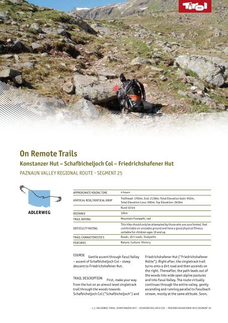
On Remote Trails
On Remote Trails
On Remote Trails

Create successful ePaper yourself
Turn your PDF publications into a flip-book with our unique Google optimized e-Paper software.
<strong>On</strong> <strong>Remote</strong> <strong>Trails</strong><br />
Konstanzer Hut – Schafbicheljoch Col – Friedrichshafener Hut<br />
PAznAUn VALLEY REGI<strong>On</strong>AL ROUTE - sEGMEnT 25<br />
APPROXIMATE HIKInG TIME<br />
VERTIcAL RIsE/VERTIcAL DROP<br />
DIsTAncE<br />
TRAIL RATInG<br />
DIffIcULTY RATInG<br />
TRAIL cHARAcTERIsTIcs<br />
fEATUREs<br />
4 hours<br />
Trailhead: 1700m, End: 2138m; Total Elevation Gain: 950m,<br />
Total Elevation Loss: 500m; Top Elevation: 2636m<br />
Rund 10 km<br />
10km<br />
Mountain footpath, red<br />
This hike should only be attempted by those who are sure footed, feel<br />
comfortable on unstable ground and have a good physical fitness;<br />
suitable for children ages 10 and up<br />
Roads, dirt roads, footpaths<br />
nature, culture, History<br />
cOURsE Gentle ascent through fasul Valley<br />
– ascent of schafbicheljoch col – steep<br />
descent to friedrichshafener Hut.<br />
TRAIL DEscRIPTI<strong>On</strong> first, make your way<br />
from the hut on an almost level singletrack<br />
trail through the woods towards<br />
schafbicheljoch col ("schafbicheljoch") and<br />
friedrichshafener Hut ("friedrichshafener<br />
Hütte"). Right after, the singletrack trail<br />
turns onto a dirt road and then ascends on<br />
the right. Thereafter, the path leads out of<br />
the woods into wide open alpine pastures<br />
and into fasul Valley. The route virtually<br />
continues through the entire valley, gently<br />
ascending and running parallel to fasulbach<br />
stream, mostly at the same altitude. soon,<br />
1 // ADLERWEG TIROL /K<strong>On</strong>sTAnzER HUT – scHAfbIcHELjOcH cOL – fRIEDRIcHsHAfEnER HUT/sEGMEnT 25
you will pass a hunting lodge that was<br />
attached to a huge lump of rock as a<br />
protection against rockslides. The rough<br />
(gravel) dirt road surmounts a little terrace<br />
and then continues in the same direction,<br />
passing the branch-off to Wannenjoch col.<br />
The track leads into a level bottom and then<br />
crosses the stream on a little bridge (from<br />
here, always stay on the right bank of the<br />
stream). Pass tiny fasul Hut where the path<br />
narrows into a singletrack trail, which once<br />
again surmounts a slight terrace. Then, walk<br />
into the valley across another level bottom<br />
in a landscape of alpine pastures and<br />
meadows. Thereafter, the route ascends<br />
again and winds up on the left side of the<br />
broad valley. soon, the singletrack trail<br />
leads across talus and scree slopes out of<br />
fasul Valley and up to schafbicheljoch col<br />
with moderate steepness. Descend from the<br />
col in the same direction (“friedrichshafener<br />
Hütte”, no. 515) and finally walk across<br />
scree, talus, and meadows (parts of the<br />
descent are rather steep) until you arrive at<br />
friedrichshafener Hut, which is located in a<br />
world of wide open alpine pastures.<br />
KEY POInTs „Kugelter stein” at the<br />
branch-off to Wannenjoch col, a split stone<br />
stemming from a rockslide<br />
sPEcIAL ATTRAcTI<strong>On</strong>s<br />
Trailhead short section through the<br />
woods, skirting the high<br />
moor next to Konstanzer<br />
Hut<br />
<strong>On</strong> the Trail section in fasul Valley<br />
across rock boulders<br />
stemming from a rockslide<br />
(here you can find the<br />
„Kugelter stein“, a split<br />
stone); level bottoms in<br />
fasul Valley where<br />
fasulbach stream partly<br />
winds its way through in a<br />
broad rubble streambed<br />
and in little meanders;<br />
stream in a tiny ravine<br />
which rushes down from the<br />
west after fasul Hut with<br />
the impressive cone of<br />
fasulspitze Peak in the<br />
backdrop<br />
At the End Descent from<br />
schafbicheljoch col across<br />
scree and meadows down to<br />
friedrichshafener Hut; view<br />
up to the hut, into Paznaun<br />
Valley and into the long-<br />
drawn-out jamtal Valley<br />
HIGHLIGHTs<br />
Trailhead Location of Konstanzer Hut<br />
in a lovely area of wide open<br />
pastures and meadows at<br />
the foot of impressive and<br />
massive 3,056m Patteriol<br />
Peak at the point where<br />
Verwall Valley divides into<br />
fasul Valley and<br />
schönverwall Valley;<br />
streams emerging from<br />
both valleys merge right<br />
below the hut<br />
<strong>On</strong> the Trail Route segment in the<br />
lonesome and green fasul<br />
Valley with its steep<br />
mountain flanks; route<br />
passes Patteriol Peak;<br />
fasulbach stream flowing<br />
through the valley<br />
2 // ADLERWEG TIROL /K<strong>On</strong>sTAnzER HUT – scHAfbIcHELjOcH cOL – fRIEDRIcHsHAfEnER HUT/sEGMEnT 25
Eateries/Accommodations<br />
Konstanzer Hütte<br />
(open mid-June<br />
through early October)<br />
T +43.664.512 47 87<br />
www.konstanzerhuette.at<br />
Friedrichshafener Hütte<br />
(open late June<br />
through late September)<br />
T +43.664.38 067 65<br />
Tourist Information<br />
St. Anton am Arlberg<br />
www.stantonamarlberg.com<br />
Paznaun-Ischgl<br />
Galtür Tourist Information Office<br />
www.galtuer.com<br />
(alternately gentle and<br />
rough), parts of the route<br />
run through a tiny ravine<br />
At the End Ascent across scree and<br />
talus up to schafbicheljoch<br />
col where the tour becomes<br />
alpine; schottensee Lake in<br />
a basin at the end of the<br />
valley, which you can admire<br />
during the ascent to the<br />
col; moreover the view to<br />
the glacier fields of<br />
fasulferner Glacier west<br />
above the lake; the col<br />
itself where scree and talus<br />
are predominant – this is<br />
why it looks like a<br />
primordial landscape; view<br />
from the col to the south<br />
into silvretta Mountain<br />
Range<br />
nATURAL scEnERY Pastures, alpine roses,<br />
alpine wildflower displays, scree, talus,<br />
glaciers, lakes, streams, grazing cattle,<br />
marmots<br />
fEATUREs<br />
nATURAL fEATUREs Alpine roses whose<br />
colors prevail in the wide open world of alpine<br />
pastures; high moor close to Konstanzer Hut,<br />
streams, mountain lakes<br />
cULTURAL fEATUREs stone retaining walls<br />
HIsTORIcAL fEATUREs Konstanzer Hut,<br />
which was constructed in 1990, is located<br />
approximately 700 meters as the crow flies<br />
distance from the original hut that was built<br />
in 1885 and destroyed by a landslide in 1988.<br />
sEnsORY EXPERIEncEs Rushing of the<br />
streams, scent of the alpine roses<br />
THEME Across the col<br />
LATERAL EnTRY Get to Konstanzer Hut as<br />
described in segment 24; a dirt road links<br />
Valzur in Paznaun Valley with<br />
friedrichshafener Hut (2 hours’ ascent, 1½<br />
hours’ descent – can be short-cut by a<br />
singletrack trail)