Notes on NAvi (pdf, 650 KB)
Notes on NAvi (pdf, 650 KB)
Notes on NAvi (pdf, 650 KB)

Create successful ePaper yourself
Turn your PDF publications into a flip-book with our unique Google optimized e-Paper software.
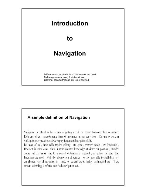
Introducti<strong>on</strong><br />
to<br />
Navigati<strong>on</strong><br />
Different sources available <strong>on</strong> the internet are used<br />
Following summary <strong>on</strong>ly for internal use<br />
Copying, passing through etc. is not allowed<br />
A simple definiti<strong>on</strong> of Navigati<strong>on</strong>
Satellite systems dedicated to navigati<strong>on</strong><br />
GPS: Global Positi<strong>on</strong>ing System<br />
USA-System, mostly used system<br />
GLONAS: Global Navigati<strong>on</strong> Satellite System<br />
Russian System<br />
GALILEO: European System, recently launched<br />
Fundamentals of Satellite (GPS) Navigati<strong>on</strong><br />
Time of Arrival Measurement (TOA)
Basic C<strong>on</strong>cept of Positi<strong>on</strong> Determinati<strong>on</strong><br />
1 and 2 Dimensi<strong>on</strong>al Positi<strong>on</strong> Determinati<strong>on</strong><br />
Basic C<strong>on</strong>cept of Positi<strong>on</strong> Determinati<strong>on</strong><br />
Three Dimensi<strong>on</strong>al Positi<strong>on</strong> Determinati<strong>on</strong>
Basic C<strong>on</strong>cept of Positi<strong>on</strong> Determinati<strong>on</strong><br />
Accuracy of „civil“ receivers is in the range of 100 m.<br />
Military grade receivers c<strong>on</strong>tain cryptographic modules that allow them to use signals that<br />
have been encrypted for military use <strong>on</strong>ly.<br />
These units can be as accurate as 3 m without any outside aids<br />
The C<strong>on</strong>trol Segment<br />
MCS: Master C<strong>on</strong>trol Stati<strong>on</strong><br />
OCS: Operati<strong>on</strong>al C<strong>on</strong>trol Stati<strong>on</strong>
The Space Segment<br />
The Space Segment – The NAVSTAR System
The GPS Sattelite Signals (SPS and PPS)<br />
SPS: Standard Positi<strong>on</strong>ing Service: 100m (h), 156 (v), 340ns (UTC)<br />
PPS: Precisi<strong>on</strong> Positi<strong>on</strong>ing Service: 22m (h), 22,7 (v), 200ns (UTC)
Selective Availability<br />
Selective Availability is intenti<strong>on</strong>al degradati<strong>on</strong> of the satellite<br />
signals by a time varying bias, used to limit accuracy for n<strong>on</strong>-<br />
US military and government users.<br />
Potential accuracy of ca. 30m is reduced to 100m<br />
Differential GPS (DGPS)<br />
DGPS is a way of correcting the various inaccuracies of GPS:<br />
• by using an other (additi<strong>on</strong>al) reference signal<br />
• achieving an accuracy of a couple of meters in moving vehicles<br />
• and better accuracy in stati<strong>on</strong>ary receivers<br />
Basics of DGPS Technology<br />
A high-performance GPS receiver is placed at a known locati<strong>on</strong><br />
This reference stati<strong>on</strong> can determine accurately the errors in the<br />
satellite signals by comparing the satellite based calculated positi<strong>on</strong><br />
with the known positi<strong>on</strong>. The difference (the error) is transmitted to the<br />
GPS receivers, which using this “correcti<strong>on</strong> signal” can correct the<br />
satellite inherent error (assuming that the satellite error at the reference<br />
receiver is the same as at the other GPS receiver)
DGPS System Diagram
On Board Navigati<strong>on</strong><br />
Versus<br />
Off Board Navigati<strong>on</strong>