Accepted Papers - 3.pdf - UNESCO
Accepted Papers - 3.pdf - UNESCO Accepted Papers - 3.pdf - UNESCO
Table 2 : Major Rivers, those are flowing through Atrai and Baral Basins Rivers Length (Km) Atrai 51.41 Jamuna 46.59 Nagar 41.13 Nandakuja 21.68 Fakirni 18.48 Gur 24.10 Gohala 22.49 Barnai 39.36 Gumani 43.68 Baral 83.54 Sundai 30.51 Source : Chalan Beel Project: Problems and Prospects. Table 3 : Extent of Water Body and Prospect of Fish Production in Baral Basin. Fish habitat No. in basin Area in ha Annual fish Annual Fish Fish value Production Production (In Million (t/ha) (MT) Taka) (1997 price) Perennial Ponds 7000 670 2.70 1800 78.3 Beels 12 269 0.41 110 4.7 Baral river 1 13700 0.11 1438 63.3 Total 14639 0.23 3348 146.3 Source: Feasibility Study of Baral Basin Development Project, Final Report. Table 4 : Drainage Structures for Water Conservation in Atrai Basin. No. Name of drain Length in km Area in ha Discharge in No. of vent & (cubic feet/sec) opening size (1.52m x 1.83m) 1 Shimultali 4.50 900 10.19 1-vent 2 Udaysiri 4.00 1942 20.37 2-vent 3 Mohatala 2.00 1000 10.19 1-vent 4 Satbeela 1.50 1850 21.69 2-vent 5 Sonadanga 3.00 1833 21.69 2-vent 6 Katabari 2.00 3200 31.10 3-vent 7 Mohishbathan 1.50 2800 31.10 3-vent 8 Ramcharan 2.00 3560 31.10 3-vent 9 Biddyapur 6.00 3800 32.00 3-vent Source: Feasibility Study of Baral Basin Development Project, Final Report. 484
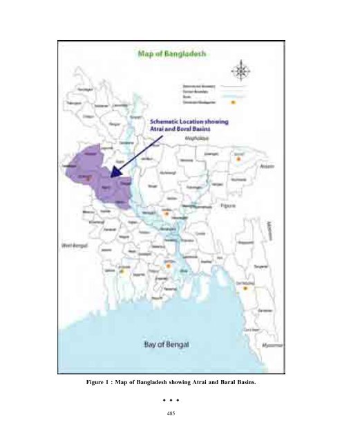
Figure 1 : Map of Bangladesh showing Atrai and Baral Basins. � � � 485
- Page 103 and 104: One relatively easy means of storin
- Page 105 and 106: Ground Water Conservation Technique
- Page 107 and 108: anging from 37-60% of recommended d
- Page 109 and 110: given priority before implementatio
- Page 111 and 112: was having potential to irrigate 15
- Page 113 and 114: water, use of improved seed and bal
- Page 115 and 116: the result of the success they have
- Page 117 and 118: National Seminar on Rainwater Harve
- Page 119 and 120: un off from one hill and conveying
- Page 121 and 122: harvest will certainly solve the wa
- Page 123 and 124: If the rain precipitation in a vill
- Page 125 and 126: echarging , A study of world wide f
- Page 127 and 128: National Seminar on Rainwater Harve
- Page 129 and 130: these villages, the people themselv
- Page 131 and 132: improve the quantity and the qualit
- Page 133 and 134: The opinion of the public for the q
- Page 135 and 136: in fact the base of energy in Tajik
- Page 137 and 138: end of 80’s building of Roghun’
- Page 139 and 140: consumption of oil on 11 times more
- Page 141 and 142: change waterness charge o Vakhsh m
- Page 143 and 144: are following: a) Compound of const
- Page 145 and 146: National Seminar on Rainwater Harve
- Page 147 and 148: for subsequent use of water for irr
- Page 149 and 150: years. These beels can also be conv
- Page 151 and 152: ody through water conservation and
- Page 153: contribute to increased fish produc
- Page 157 and 158: end uses and the intentional manage
- Page 159 and 160: INTRODUCTION Indian water sector is
- Page 161 and 162: ut definitely they are not substitu
- Page 163 and 164: having the height greater than 50m
- Page 165 and 166: ain. There is no conducive evidence
- Page 167 and 168: chase food self sufficiency as a go
- Page 169 and 170: REPORTB OF WORLD COMMISION ON DAMS
Figure 1 : Map of Bangladesh showing Atrai and Baral Basins.<br />
� � �<br />
485


