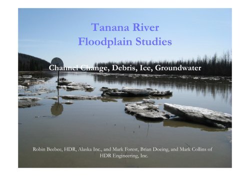
Tanana River Floodplain Studies Channel Change, Debris, Ice ...
Tanana River Floodplain Studies Channel Change, Debris, Ice ...
Tanana River Floodplain Studies Channel Change, Debris, Ice ...

You also want an ePaper? Increase the reach of your titles
YUMPU automatically turns print PDFs into web optimized ePapers that Google loves.
<strong>Tanana</strong> <strong>River</strong><br />
<strong>Floodplain</strong> <strong>Studies</strong><br />
<strong>Channel</strong> <strong>Change</strong>, <strong>Debris</strong>, <strong>Ice</strong>, Groundwater<br />
Robin Beebee, HDR, Alaska Inc., and Mark Forest, Brian Doeing, and Mark Collins of<br />
HDR Engineering, Inc.
Project Description<br />
Phase I of the Northern Rail<br />
Extension<br />
3300-foot bridge over the <strong>Tanana</strong> <strong>River</strong> near<br />
Salcha (Boondox area), 40 miles south of<br />
Fairbanks.<br />
2.5-mile long levee
Entire Project is in a Flood Zone
2008 flood (50-year event)
1961<br />
Development Patterns<br />
Lead to flood-prone<br />
Communities
1000 cfs<br />
3000 cfs<br />
2000 cfs<br />
100-Year Flood
Slough Blocks<br />
DOT Revetment
Bank Migration<br />
Up to 1500 feet of bank retreat since 1938
1938
1962
1973
1983
1994
1999
2005
Woody <strong>Debris</strong>
Woody <strong>Debris</strong><br />
•Enormous debris supply<br />
•Sturdy log length of about 95 feet<br />
•Rootwad width of about 9 feet<br />
•Accumulations on piers factored into bridge design<br />
•Levee height assumes accumulations at the design flood
<strong>Ice</strong> Jams
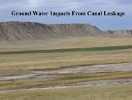
Groundwater<br />
Upwelling Post<br />
Project