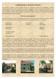
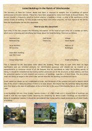
CONSERVATION AREA STATEMENT - Stroud District Council
CONSERVATION AREA STATEMENT - Stroud District Council
CONSERVATION AREA STATEMENT - Stroud District Council

You also want an ePaper? Increase the reach of your titles
YUMPU automatically turns print PDFs into web optimized ePapers that Google loves.
8<br />
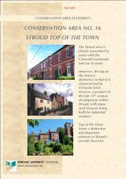
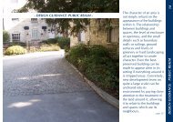
<strong>CONSERVATION</strong> <strong>AREA</strong> <strong>STATEMENT</strong> - Conservation Area No7: FRAMPTON ON SEVERN<br />
HISTORY OF FRAMPTON ON SEVERN<br />
Origins of the Settlement<br />
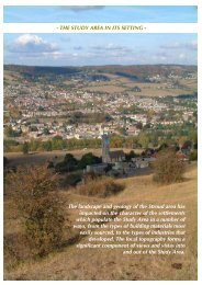
It is probable that the position of the first settlement at Frampton on Severn was chosen because it was one of the<br />
few dry spots in the swampy meeting point of the rivers Severn, Cam and Frome.<br />
Evidence of prehistoric occupation, particularly during the Bronze Age, has been found in the fields and gravel pits<br />
around the village, and it is likely that people continued living there on through the Iron Age and well into the Roman<br />
period. Unfortunately, most of the archaeological evidence for the earlier phases of the settlement was lost during the<br />
extraction of the gravel on which they sat.<br />
The village of Frampton on Severn, as we know it, is ancient. It was already in existence by the Domesday survey of<br />
1086, when it was named ‘Frantone.’ By 1180, it had become ‘Framton’ and the ‘on Severn’ seems to have been in<br />
usage by 1279. The village is clearly medieval at heart, growing up from Church End, where dwellings clustered<br />
around the community’s focal points of the church (pre-dating the present St Mary’s, which was built in the 14th<br />
century), a farm and a manor house, which stood on the site into the 19th century. Scattered, outlying farmsteads<br />
surrounded the core hamlet. At this stage, Frampton was reached by a lane that ran from opposite the current<br />
Frocester junction on the A38, entering the village along what is now Vicarage Lane.<br />
Expansion and development of Frampton on Severn<br />
In pre- historic times, the inconvenience of living in the river marshes was almost certainly outweighed by the vital<br />
transport links provided by the nearby navigable waterways. The settlement’s proximity to the Frome and the Severn<br />
estuary placed it on far-flung trade and communication routes.<br />
Even though the earliest known actual record of maritime activity at Frampton was in 1377, when a Frampton ship<br />
was trading between Bristol and Ireland, it is likely that the rivers were used for transport and travel since the earliest<br />
times. Maritime links were a strong element in the community for many more centuries.<br />
A deep basin on the riverside, known as Frampton Pill (actually the mouth of the River Cam), allowed the mooring of<br />
quite large sea- going boats close to the village, but the Severn was often dangerous to navigate and treacherous for<br />
general shipping. In order to create safe, regular passage to the thriving inland port of Gloucester, the Gloucester and<br />
Berkeley Canal was constructed, running more or less parallel to the river: it opened in 1827.<br />
Frampton on Severn expanded and became home to many who plied their trades on the river and canal: there was<br />
a boatyard at Frampton Pill until the late 19th century.<br />
<strong>Stroud</strong> <strong>District</strong> <strong>Council</strong>