the salmon river watershed - Learning Centre
the salmon river watershed - Learning Centre
the salmon river watershed - Learning Centre

Create successful ePaper yourself
Turn your PDF publications into a flip-book with our unique Google optimized e-Paper software.
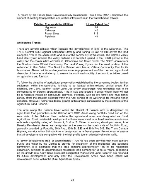
A report by <strong>the</strong> Fraser River Environmentally Sustainable Task Force (1991) estimated <strong>the</strong><br />
amount of existing transportation and utilities infrastructure in <strong>the</strong> <strong>watershed</strong> as follows.<br />
Anticipated Trends<br />
Existing Transportation/Utilities Linear Extent (km)<br />
Highways 84<br />
Railways 45<br />
Power Lines 112<br />
Pipelines 41<br />
There are several policies which regulate <strong>the</strong> development of land in <strong>the</strong> <strong>watershed</strong>. The<br />
TNRD Central Sub-Regional Settlement Strategy and Zoning By-law No 940 covers <strong>the</strong> land<br />
along <strong>the</strong> <strong>river</strong> to <strong>the</strong> south, north and east of <strong>the</strong> community of Westwold. The Salmon Valley<br />
Land Use Bylaw includes <strong>the</strong> valley bottoms and forested upland in <strong>the</strong> CSRD portion of <strong>the</strong><br />
valley and <strong>the</strong> communities of Falkland, Glenemma and Silver Creek. The NORD administers<br />
<strong>the</strong> Spallumcheen Official Community Plan and Zoning By-law for <strong>the</strong> small portion of <strong>the</strong><br />
<strong>watershed</strong> in this District. The District of Salmon Arm has an Official Community Plan for its<br />
boundaries. These policies and regulations encourage preservation of <strong>the</strong> rural and agricultural<br />
character of <strong>the</strong> area and attempt to ensure <strong>the</strong> continued viability of economic activities based<br />
on agriculture and forestry.<br />
To follow <strong>the</strong> objective of agricultural preservation established by <strong>the</strong> governing bodies, fur<strong>the</strong>r<br />
settlement within <strong>the</strong> <strong>watershed</strong> is likely to be located within existing settled areas. For<br />
example, <strong>the</strong> CSRD Salmon Valley Land Use Bylaw encourages rural residential use to be<br />
concentrated on parcels approximately 1 ha in size and located in areas where <strong>the</strong>re will not<br />
be a negative impact on agricultural activities. Falkland, with its two-family and multi-family<br />
zones, offers <strong>the</strong> greatest potential within <strong>the</strong> rural portion of <strong>the</strong> <strong>watershed</strong> for infill and higher<br />
densities. However, fur<strong>the</strong>r residential growth in this area is constrained by <strong>the</strong> existence of <strong>the</strong><br />
Agricultural Land Reserve.<br />
The area along <strong>the</strong> Salmon River within <strong>the</strong> District of Salmon Arm is designated for<br />
agricultural food production in <strong>the</strong> Salmon Arm OCP. Areas along Foothills Road and on <strong>the</strong><br />
west side of <strong>the</strong> Salmon River, outside <strong>the</strong> agricultural area, are designated as Rural<br />
Agricultural. Rural residential development in <strong>the</strong>se areas must be at least two hectares in size<br />
with soils capability rating of classes 4, 5, 6 or 7. Closer to existing developed areas, Low<br />
Density Residential Areas are designated in <strong>the</strong> area on <strong>the</strong> south side of Foothills Road,<br />
generally bounded by Foothills, 20th Ave., 10th St. S.E. and 10th Ave S.E. The Trans Canada<br />
Highway corridor within Salmon Arm is designated as a Development Permit Area to ensure<br />
that all development is compatible with <strong>the</strong> high profile tourist oriented vehicular traffic.<br />
A “sewer development area” of approximately 1,700 ha has been serviced with main sanitary<br />
trunks and water by <strong>the</strong> District to provide for expansion of <strong>the</strong> residential and business<br />
community. It is estimated that <strong>the</strong> area contains approximately 185 ha for residential<br />
expansion, sufficient to accommodate residential land demand for up to 20 years, depending<br />
on <strong>the</strong> growth rate. Only those areas not designated “Agricultural Land Reserve” are reserved<br />
for future development, and only after <strong>the</strong> Development Areas have been infilled will<br />
development occur within <strong>the</strong> Rural Agricultural Areas.<br />
24