400W / 500W Series Display Interfaces - Garmin
400W / 500W Series Display Interfaces - Garmin
400W / 500W Series Display Interfaces - Garmin

Create successful ePaper yourself
Turn your PDF publications into a flip-book with our unique Google optimized e-Paper software.
Section 2<br />
L-3 Stormscope Interface<br />
The strike data display phases are:<br />
1. Lightning Symbol (latest strikes; less than one<br />
minute; a black guard band is placed around<br />
the strike symbol during the first six seconds<br />
of display).<br />
2. Large Plus “+” sign (more than one minute<br />
old).<br />
3. Small Plus “+” sign (more than two minutes<br />
old).<br />
4. Strike Data is no longer displayed (after three<br />
minutes).<br />
To configure storm data on the Map Page:<br />
1. From the default Nav Page, turn the small<br />
right knob to select the Map Page.<br />
2. Press MENU to display the Page Menu.<br />
3. Turn the small right knob to select ‘Setup<br />
Map?’ and press ENT.<br />
4. The flashing cursor highlights the GROUP field.<br />
Turn the small right knob to display the Map<br />
Setup Options Menu. Turn the small right<br />
knob to select “Weather” and press ENT.<br />
5. The flashing cursor highlights “Weather” in<br />
the GROUP field. Turn the large right knob to<br />
select the desired lighting mode field. Turn the<br />
small right knob to select the desired mode<br />
and press ENT. Repeat for the remaining fields<br />
and options.<br />
6 190-00356-31 Rev. D<br />
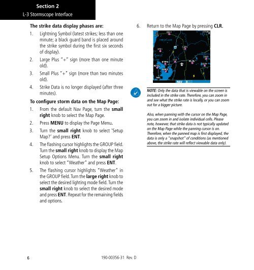
6. Return to the Map Page by pressing CLR.<br />
NOTE: Only the data that is viewable on the screen is<br />
included in the strike rate. Therefore, you can zoom in<br />
and see what the strike rate is locally, or you can zoom<br />
out for a bigger picture.<br />
Also, when panning with the cursor on the Map Page,<br />
you can zoom in and isolate individual cells. Please<br />
note, however, that strike data is not typically updated<br />
on the Map Page while the panning cursor is on.<br />
Therefore, when the panned map is first displayed, the<br />
data is only a “snapshot” of conditions (as mentioned<br />
above, the strike rate will reflect viewable data only).